Latrobe Suburbs & Region, Latrobe Map & Postcodes
Latrobe Suburbs & Region, Latrobe Map & Postcodes in Latrobe, Devonport, West and North West, TAS, AU
Latrobe Region
Region Name
Latrobe (TAS, AU)Latrobe Area
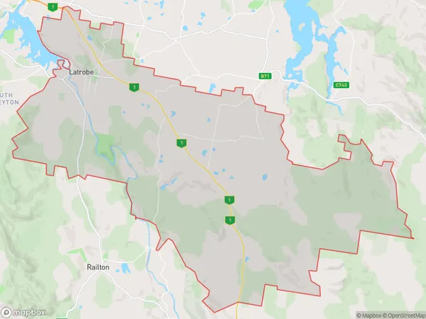
215.33 square kilometers (215.33 ㎢)Latrobe Introduction
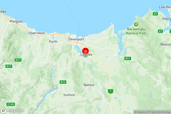
Latrobe is a locality in the West and North West regions of Tasmania, Australia. It is located in the Latrobe Valley Council area. The town is situated approximately 150 kilometers north-west of Hobart and 35 kilometers south-west of Devonport. Latrobe is known for its coal mining industry, which played a significant role in the region's economy for many years. The town has a population of around 10,000 people and is home to several historic buildings and landmarks, including the Latrobe Power Station and the Latrobe Mine Museum. The area is also popular for its scenic beauty, with numerous parks and gardens located throughout the town.Australia State
City or Big Region
Greater Capital City
Rest of Tas. (6RTAS)District or Regional Area
Suburb Name
Latrobe Region Map

Latrobe Suburbs
Latrobe full address
Latrobe, Devonport, West and North West, Tasmania, TAS, Australia, SaCode: 604021087Country
Latrobe, Devonport, West and North West, Tasmania, TAS, Australia, SaCode: 604021087
Latrobe Suburbs & Region, Latrobe Map & Postcodes has 0 areas or regions above, and there are 0 Latrobe suburbs below. The sa2code for the Latrobe region is 604021087. Its latitude and longitude coordinates are -41.2443,146.406. Latrobe area belongs to Australia's greater capital city Rest of Tas..
