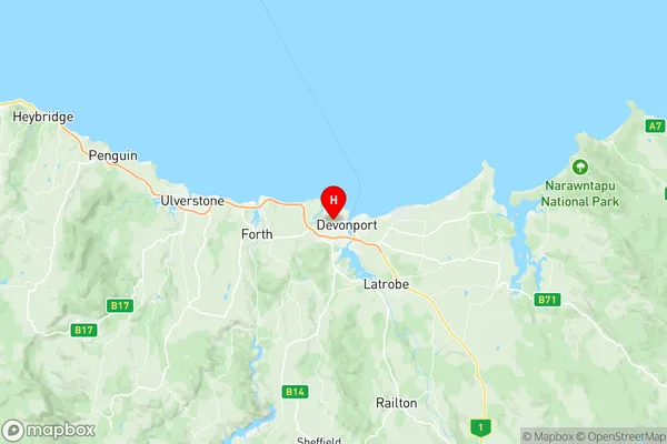
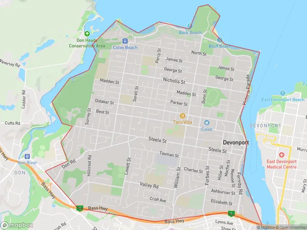
Devonport Suburbs & Region, Devonport Map & Postcodes
Devonport Suburbs & Region, Devonport Map & Postcodes in Devonport, West and North West, TAS, AU
Devonport Region
Region Name
Devonport (TAS, AU)Devonport Area
10.28 square kilometers (10.28 ㎢)Postal Codes
7310 (In total, there are 1 postcodes in Devonport.)Devonport Introduction
Devonport is a city in Tasmania, Australia. It is located in the West and North West region of the state, about 25 km north of the state capital, Hobart. The city is known for its historic port, which is one of the oldest in Australia. It is also home to a number of industries, including manufacturing, tourism, and agriculture. Devonport is a popular tourist destination, with many attractions including the Devonport Regional Gallery, the Devonport Central Shopping Centre, and the Tasmanian Museum and Art Gallery. The city is also home to a number of parks and gardens, including the Mersey River Reserve and the Mount Wellington Reserve.Australia State
City or Big Region
Greater Capital City
Rest of Tas. (6RTAS)District or Regional Area
Suburb Name
Devonport Region Map

Devonport Postcodes / Zip Codes
Devonport Suburbs
Devonport full address
Devonport, West and North West, Tasmania, TAS, Australia, SaCode: 604021085Country
Devonport, West and North West, Tasmania, TAS, Australia, SaCode: 604021085
Devonport Suburbs & Region, Devonport Map & Postcodes has 0 areas or regions above, and there are 2 Devonport suburbs below. The sa2code for the Devonport region is 604021085. Its latitude and longitude coordinates are -41.1771,146.345. Devonport area belongs to Australia's greater capital city Rest of Tas..
Devonport Suburbs & Localities
1. Devonport
2. West Devonport
