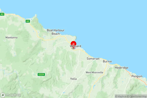
Wynyard Suburbs & Region, Wynyard Map & Postcodes
Wynyard Suburbs & Region, Wynyard Map & Postcodes in Wynyard, West Coast, West and North West, TAS, AU
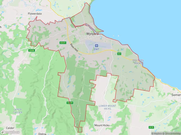
Wynyard Region
Region Name
Wynyard (TAS, AU)Wynyard Area
58.64 square kilometers (58.64 ㎢)Postal Codes
7325 (In total, there are 1 postcodes in Wynyard.)Wynyard Introduction
Wynyard is a locality in the West and North West regions of Tasmania, Australia. It is located in the Burnie-Wynyard municipal area. The town is situated on the Bass Strait coast, approximately 25 km northwest of Burnie. Wynyard was originally a coal mining town but has since transitioned to a tourism and agricultural hub. The town is home to several historic buildings, including the Wynyard Courthouse and the Wynyard Power Station. The nearby Cape Grim Lighthouse is a popular tourist attraction. The town also has a golf course, a swimming pool, and a variety of recreational facilities. The population of Wynyard was 3,121 at the 2016 census.Australia State
City or Big Region
Greater Capital City
Rest of Tas. (6RTAS)District or Regional Area
Suburb Name
Wynyard Region Map

Wynyard Postcodes / Zip Codes
Wynyard Suburbs
Wynyard full address
Wynyard, West Coast, West and North West, Tasmania, TAS, Australia, SaCode: 604011084Country
Wynyard, West Coast, West and North West, Tasmania, TAS, Australia, SaCode: 604011084
Wynyard Suburbs & Region, Wynyard Map & Postcodes has 0 areas or regions above, and there are 2 Wynyard suburbs below. The sa2code for the Wynyard region is 604011084. Its latitude and longitude coordinates are -41,145.717. Wynyard area belongs to Australia's greater capital city Rest of Tas..
Wynyard Suburbs & Localities
1. Doctors Rocks
2. Wynyard
