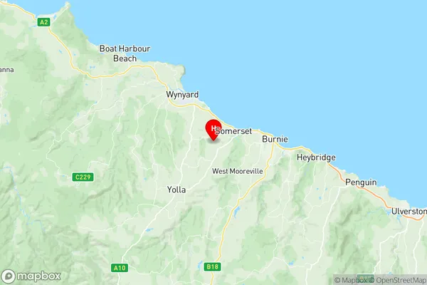
Somerset Suburbs & Region, Somerset Map & Postcodes
Somerset Suburbs & Region, Somerset Map & Postcodes in Somerset, West Coast, West and North West, TAS, AU
Somerset Region
Region Name
Somerset (TAS, AU)Somerset Area
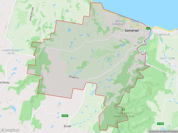
26.89 square kilometers (26.89 ㎢)Postal Codes
7322, and 7325 (In total, there are 2 postcodes in Somerset.)Somerset Introduction
Somerset is a locality in the West and North West regions of Tasmania, Australia. It is located in the local government area of the West Coast District. The town is situated on the Arthur Highway, approximately 125 km northwest of Hobart. The population of Somerset at the 2016 census was 1,191. Somerset is known for its scenic surroundings, including the Arthur River and the surrounding mountains. The town has a primary school, a post office, a general store, and a community hall. There are also several tourist attractions in the area, including the historic Somerset Dam and the West Coast Heritage Park. The town is surrounded by farmland and is a popular destination for outdoor activities such as hiking, fishing, and camping.Australia State
City or Big Region
Greater Capital City
Rest of Tas. (6RTAS)District or Regional Area
Suburb Name
Somerset Region Map

Somerset Postcodes / Zip Codes
Somerset Suburbs
Somerset full address
Somerset, West Coast, West and North West, Tasmania, TAS, Australia, SaCode: 604011081Country
Somerset, West Coast, West and North West, Tasmania, TAS, Australia, SaCode: 604011081
Somerset Suburbs & Region, Somerset Map & Postcodes has 0 areas or regions above, and there are 2 Somerset suburbs below. The sa2code for the Somerset region is 604011081. Its latitude and longitude coordinates are -41.0574,145.788. Somerset area belongs to Australia's greater capital city Rest of Tas..
Somerset Suburbs & Localities
1. Seabrook
2. Somerset
