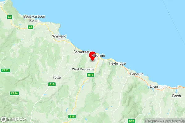
Parklands Camdale Suburbs & Region, Parklands Camdale Map & Postcodes
Parklands Camdale Suburbs & Region, Parklands Camdale Map & Postcodes in Parklands Camdale, West Coast, West and North West, TAS, AU
Parklands Camdale Region
Region Name
Parklands Camdale (TAS, AU)Parklands Camdale Area
19.53 square kilometers (19.53 ㎢)Postal Codes
7320, and 7321 (In total, there are 2 postcodes in Parklands Camdale.)Parklands Camdale Introduction
Parklands Camdale, West and North West is a locality in the West Tamar Valley, Tasmania, Australia. It is located in the local government area of the West Tamar Council. The area is known for its scenic beauty, including the Parklands Reserve, which is a popular recreational area with walking trails, picnic spots, and a playground. The locality is also home to several businesses and industries, including a paper mill and a dairy farm. The Parklands Camdale, West and North West Post Office opened on 1 July 1924 and was closed on 29 November 1974.Australia State
City or Big Region
Greater Capital City
Rest of Tas. (6RTAS)District or Regional Area
Suburb Name
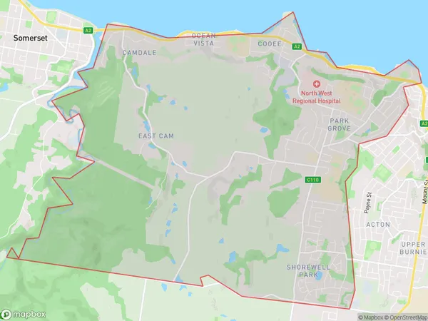
Parklands Camdale Region Map

Parklands Camdale Postcodes / Zip Codes
Parklands Camdale Suburbs
Parklands Camdale full address
Parklands Camdale, West Coast, West and North West, Tasmania, TAS, Australia, SaCode: 604011078Country
Parklands Camdale, West Coast, West and North West, Tasmania, TAS, Australia, SaCode: 604011078
Parklands Camdale Suburbs & Region, Parklands Camdale Map & Postcodes has 0 areas or regions above, and there are 7 Parklands Camdale suburbs below. The sa2code for the Parklands Camdale region is 604011078. Its latitude and longitude coordinates are -41.0728,145.876. Parklands Camdale area belongs to Australia's greater capital city Rest of Tas..
Parklands Camdale Suburbs & Localities
1. Park Grove
2. Parklands
3. Shorewell Park
4. Camdale
5. Ocean Vista
6. Cooee
7. East Cam
