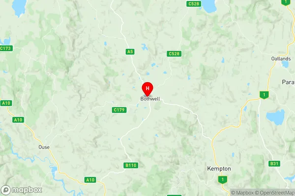
Central Highlands Suburbs & Region, Central Highlands Map & Postcodes
Central Highlands Suburbs & Region, Central Highlands Map & Postcodes in Central Highlands, Devonport, West and North West, TAS, AU
Central Highlands Region
Region Name
Central Highlands (TAS, AU)Central Highlands Area
7185 square kilometers (7,185 ㎢)Postal Codes
7030, 7140, and 7304 (In total, there are 3 postcodes in Central Highlands.)Central Highlands Introduction
The Central Highlands, West and North West are located in Tasmania, Australia. It is a mountainous region with a rich history of mining and agriculture. The area is known for its stunning landscapes, including waterfalls, forests, and lakes. The region is home to a variety of wildlife, including the Tasmanian devil, wallabies, and echidnas. The Central Highlands, West and North West are also a popular destination for outdoor activities such as hiking, skiing, and fishing. The region has a temperate climate with cool summers and warm winters.Australia State
City or Big Region
Greater Capital City
Rest of Tas. (6RTAS)District or Regional Area
Suburb Name
Central Highlands Region Map

Central Highlands Postcodes / Zip Codes
Central Highlands Suburbs
Central Highlands full address
Central Highlands, Devonport, West and North West, Tasmania, TAS, Australia, SaCode: 603011065Country
Central Highlands, Devonport, West and North West, Tasmania, TAS, Australia, SaCode: 603011065
Central Highlands Suburbs & Region, Central Highlands Map & Postcodes has 0 areas or regions above, and there are 46 Central Highlands suburbs below. The sa2code for the Central Highlands region is 603011065. Its latitude and longitude coordinates are -42.3833,147. Central Highlands area belongs to Australia's greater capital city Rest of Tas..
Central Highlands Suburbs & Localities
1. Arthurs Lake
2. Bothwell
3. Shannon
4. Apsley
5. Cramps Bay
6. Bronte Park
7. Butlers Gorge
8. Fentonbury
9. Florentine
10. Gretna
11. Wayatinah
12. Flintstone
13. Interlaken
14. Liawenee
15. Tods Corner
16. Wilburville
17. Derwent Bridge
18. Ellendale
19. Hayes
20. Tarraleah
21. Lake Sorell
22. Miena
23. Millers Bluff
24. Morass Bay
25. Steppes
26. Waddamana
27. Hermitage
28. Dee
29. Lake St Clair
30. Little Pine Lagoon
31. Ouse
32. Strickland
33. Lower Marshes
34. Pelham
35. Bradys Lake
36. Hamilton
37. Hollow Tree
38. London Lakes
39. Meadowbank
40. Osterley
41. Victoria Valley
42. Breona
43. Reynolds Neck
44. Brandum
45. Central Plateau
46. Doctors Point
