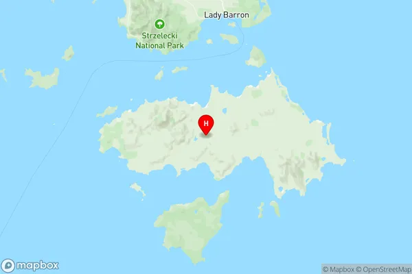
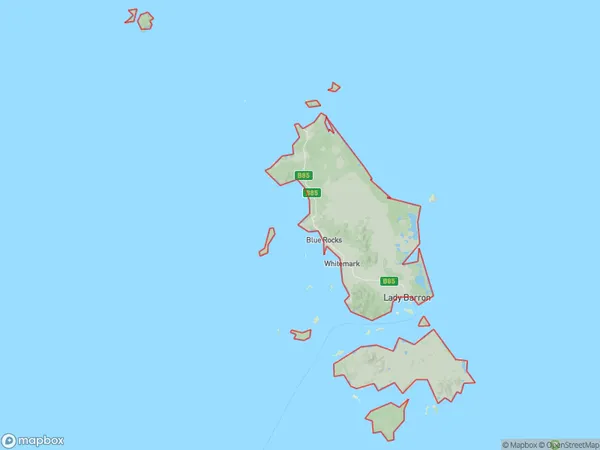
Flinders and Cape Barren Islands Suburbs & Region, Flinders and Cape Barren Islands Map & Postcodes
Flinders and Cape Barren Islands Suburbs & Region, Flinders and Cape Barren Islands Map & Postcodes in Flinders and Cape Barren Islands, North East, Launceston and North East, TAS, AU
Flinders and Cape Barren Islands Region
Region Name
Flinders and Cape Barren Islands (TAS, AU)Flinders and Cape Barren Islands Area
1997 square kilometers (1,997 ㎢)Postal Codes
7255, and 7257 (In total, there are 2 postcodes in Flinders and Cape Barren Islands.)Flinders and Cape Barren Islands Introduction
Flinders and Cape Barren Islands, Launceston and North East, Tasmania, AU, is a locality in the local government area of the City of Launceston, in the state of Tasmania, Australia. It is located about 4 km northeast of the central business district of Launceston. The 2016 census recorded 1,020 people in Flinders and Cape Barren Islands, Launceston and North East. Flinders and Cape Barren Islands, Launceston and North East is a primarily residential area, with a mix of single-family homes, apartments, and townhouses. The locality has a number of parks and recreational facilities, including the Flinders Island National Park, Cape Barren Island Conservation Area, and the Launceston Aquatic Centre. The area is also home to a number of schools, including Flinders Island Primary School and Launceston College. The nearest major town to Flinders and Cape Barren Islands, Launceston and North East is Burnie, which is located about 45 km to the north. The area is well-connected to other parts of Tasmania, with regular bus services to Burnie and Launceston. The nearest airport is Launceston Airport, which is located about 5 km from the locality.Australia State
City or Big Region
Greater Capital City
Rest of Tas. (6RTAS)District or Regional Area
Suburb Name
Flinders and Cape Barren Islands Region Map

Flinders and Cape Barren Islands Postcodes / Zip Codes
Flinders and Cape Barren Islands Suburbs
Flinders and Cape Barren Islands full address
Flinders and Cape Barren Islands, North East, Launceston and North East, Tasmania, TAS, Australia, SaCode: 602031099Country
Flinders and Cape Barren Islands, North East, Launceston and North East, Tasmania, TAS, Australia, SaCode: 602031099
Flinders and Cape Barren Islands Suburbs & Region, Flinders and Cape Barren Islands Map & Postcodes has 0 areas or regions above, and there are 15 Flinders and Cape Barren Islands suburbs below. The sa2code for the Flinders and Cape Barren Islands region is 602031099. Its latitude and longitude coordinates are -40.3982,148.201. Flinders and Cape Barren Islands area belongs to Australia's greater capital city Rest of Tas..
Flinders and Cape Barren Islands Suburbs & Localities
1. Blue Rocks
3. Killiecrankie
4. Lackrana
5. Lady Barron
8. Lughrata
10. Palana
12. Strzelecki
13. Whitemark
14. Wingaroo
15. Cape Barren Island
