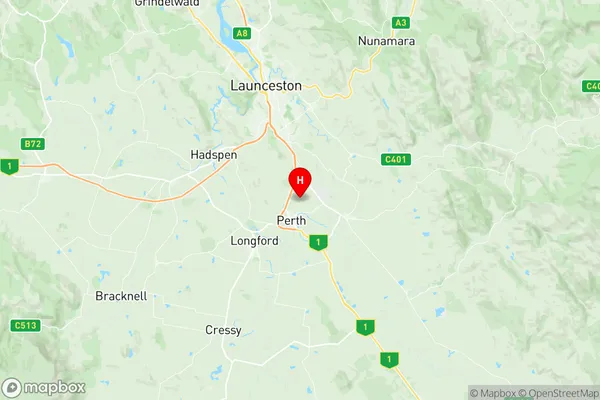
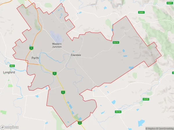
Perth Evandale Suburbs & Region, Perth Evandale Map & Postcodes
Perth Evandale Suburbs & Region, Perth Evandale Map & Postcodes in Perth Evandale, North East, Launceston and North East, TAS, AU
Perth Evandale Region
Region Name
Perth Evandale (TAS, AU)Perth Evandale Area
226.77 square kilometers (226.77 ㎢)Postal Codes
7212, 7258, and 7300 (In total, there are 3 postcodes in Perth Evandale.)Perth Evandale Introduction
Perth Evandale, Launceston and North East is a federal electoral division in Tasmania, Australia. It has been represented in the Australian House of Representatives since 1901 by the Labor Party. The division covers the areas of Perth, Evandale, Launceston, and the north-east coast of Tasmania. It is one of the most marginal seats in Australia, with a Labor majority of just 1.1 percent.Australia State
City or Big Region
Greater Capital City
Rest of Tas. (6RTAS)District or Regional Area
Suburb Name
Perth Evandale Region Map

Perth Evandale Postcodes / Zip Codes
Perth Evandale Suburbs
Perth Evandale full address
Perth Evandale, North East, Launceston and North East, Tasmania, TAS, Australia, SaCode: 602031062Country
Perth Evandale, North East, Launceston and North East, Tasmania, TAS, Australia, SaCode: 602031062
Perth Evandale Suburbs & Region, Perth Evandale Map & Postcodes has 0 areas or regions above, and there are 7 Perth Evandale suburbs below. The sa2code for the Perth Evandale region is 602031062. Its latitude and longitude coordinates are -41.552,147.184. Perth Evandale area belongs to Australia's greater capital city Rest of Tas..
Perth Evandale Suburbs & Localities
1. Evandale
2. Western Junction
3. Devon Hills
4. Perth
5. Breadalbane
6. Perth
7. Relbia
