George Town Suburbs & Region, George Town Map & Postcodes
George Town Suburbs & Region, George Town Map & Postcodes in George Town, North East, Launceston and North East, TAS, AU
George Town Region
Region Name
George Town (TAS, AU)George Town Area
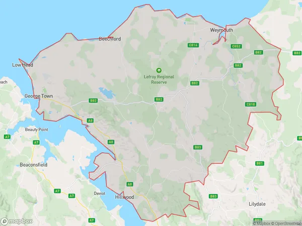
747.17 square kilometers (747.17 ㎢)George Town Suburb Area Map (Polygon)
George Town Introduction
George Town is a small town in Tasmania, Australia, located in the North East region. It is known for its historic buildings, including the George Town Courthouse, which was built in 1838. The town is surrounded by beautiful countryside and is a popular tourist destination. It is also home to a variety of industries, including agriculture, forestry, and manufacturing. George Town is a great place to live and work, with a friendly community and a variety of amenities.Australia State
City or Big Region
Greater Capital City
Rest of Tas. (6RTAS)District or Regional Area
Suburb Name
George Town Region Map
George Town Suburbs
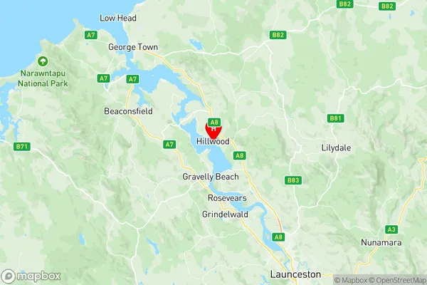
George Town full address
George Town, North East, Launceston and North East, Tasmania, TAS, Australia, SaCode: 602031059Country
George Town, North East, Launceston and North East, Tasmania, TAS, Australia, SaCode: 602031059
George Town Suburbs & Region, George Town Map & Postcodes has 0 areas or regions above, and there are 0 George Town suburbs below. The sa2code for the George Town region is 602031059. Its latitude and longitude coordinates are -41.2436,146.979. George Town area belongs to Australia's greater capital city Rest of Tas..