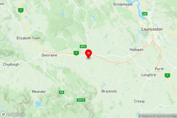
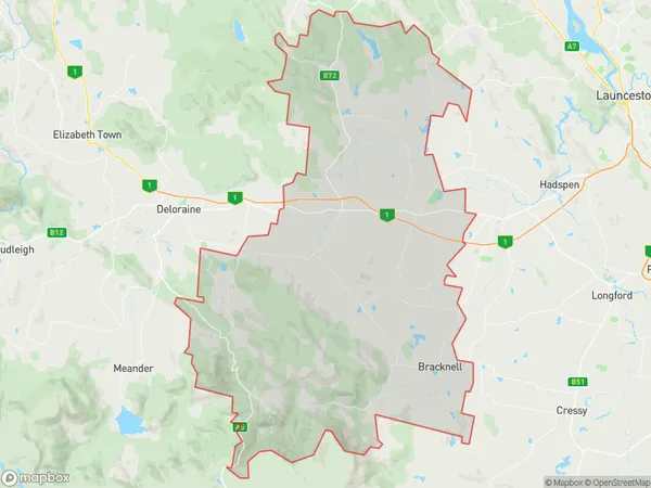
Westbury Suburbs & Region, Westbury Map & Postcodes
Westbury Suburbs & Region, Westbury Map & Postcodes in Westbury, Devonport, West and North West, TAS, AU
Westbury Region
Region Name
Westbury (TAS, AU)Westbury Area
679.08 square kilometers (679.08 ㎢)Postal Codes
7292, and from 7301 to 7304 (In total, there are 5 postcodes in Westbury.)Westbury Introduction
Westbury is a small township in the West and North West regions of Tasmania, Australia. It is located in the local government area of the West Coast District and is about 25 kilometers northwest of the state capital, Hobart. The town is surrounded by beautiful natural scenery, including the Westbury Range and the Mount Wellington National Park. The population of Westbury is around 1,000 people, and the town has a variety of amenities, including a supermarket, a post office, a primary school, and a community hall. The town is also home to a number of historic buildings, including the Westbury Courthouse and the Westbury Baptist Church.Australia State
City or Big Region
Greater Capital City
Rest of Tas. (6RTAS)District or Regional Area
Suburb Name
Westbury Region Map

Westbury Postcodes / Zip Codes
Westbury Suburbs
Westbury full address
Westbury, Devonport, West and North West, Tasmania, TAS, Australia, SaCode: 602021057Country
Westbury, Devonport, West and North West, Tasmania, TAS, Australia, SaCode: 602021057
Westbury Suburbs & Region, Westbury Map & Postcodes has 0 areas or regions above, and there are 13 Westbury suburbs below. The sa2code for the Westbury region is 602021057. Its latitude and longitude coordinates are -41.5384,146.842. Westbury area belongs to Australia's greater capital city Rest of Tas..
Westbury Suburbs & Localities
1. Hagley
2. Quamby Bend
3. Rosevale
4. Selbourne
5. Liffey
6. Bracknell
7. Birralee
8. Cluan
9. Osmaston
10. Westbury
11. Whitemore
12. Golden Valley
13. Quamby Brook
