Mowbray Suburbs & Region, Mowbray Map & Postcodes
Mowbray Suburbs & Region, Mowbray Map & Postcodes in Mowbray, North East, Launceston and North East, TAS, AU
Mowbray Region
Region Name
Mowbray (TAS, AU)Mowbray Area
9.28 square kilometers (9.28 ㎢)Postal Codes
7248 (In total, there are 1 postcodes in Mowbray.)Mowbray Introduction
Mowbray is a suburb of Launceston, Tasmania, Australia. It is located in the northern suburbs of the city and is part of the City of Launceston local government area. The suburb is named after Mowbray House, which was built in 1837 by John Batman for his son-in-law, William Mowbray. Mowbray House is a historic building that is now listed on the Tasmanian Heritage Register. The suburb has a variety of shops, cafes, and restaurants, as well as a community center and a park. Mowbray is also home to a number of schools, including Mowbray Primary School and Mowbray Secondary College. The suburb is located close to the Launceston CBD and is easily accessible by public transport.Australia State
City or Big Region
Greater Capital City
Rest of Tas. (6RTAS)District or Regional Area
Suburb Name
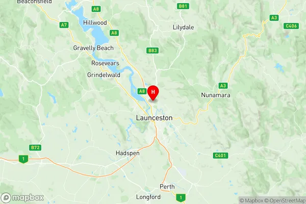
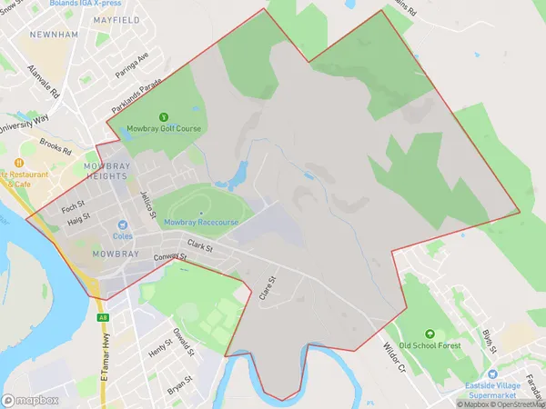
Mowbray Region Map

Mowbray Postcodes / Zip Codes
Mowbray Suburbs
Mowbray full address
Mowbray, North East, Launceston and North East, Tasmania, TAS, Australia, SaCode: 602011040Country
Mowbray, North East, Launceston and North East, Tasmania, TAS, Australia, SaCode: 602011040
Mowbray Suburbs & Region, Mowbray Map & Postcodes has 0 areas or regions above, and there are 2 Mowbray suburbs below. The sa2code for the Mowbray region is 602011040. Its latitude and longitude coordinates are -41.4024,147.134. Mowbray area belongs to Australia's greater capital city Rest of Tas..
Mowbray Suburbs & Localities
1. Mowbray Heights
2. Mowbray
