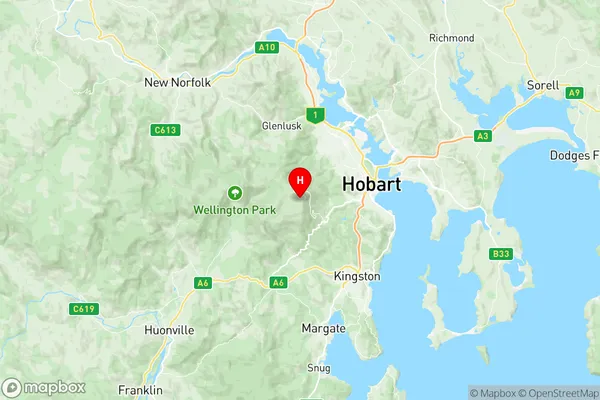
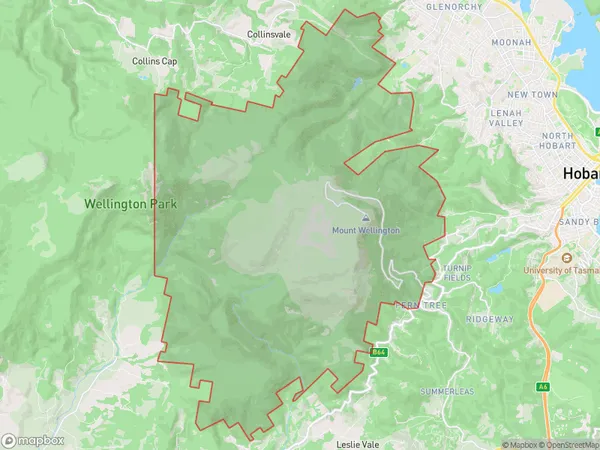
Mount Wellington Suburbs & Region, Mount Wellington Map & Postcodes
Mount Wellington Suburbs & Region, Mount Wellington Map & Postcodes in Mount Wellington, Huon Bruny Island, South East, TAS, AU
Mount Wellington Region
Region Name
Mount Wellington (TAS, AU)Mount Wellington Area
90.16 square kilometers (90.16 ㎢)Postal Codes
7054 (In total, there are 1 postcodes in Mount Wellington.)Mount Wellington Introduction
Mount Wellington is located in South East Tasmania, Australia. It is the second-highest mountain in Tasmania and the highest mountain in the Tasmanian Central Range. The mountain is part of the Wellington Range National Park and is a popular destination for hiking and skiing. The mountain is named after Arthur Wellesley, the Duke of Wellington. The mountain has a summit elevation of 1,621 meters (5,317 feet) and is surrounded by beautiful alpine scenery. The mountain is also home to a variety of wildlife, including the Tasmanian devil and the mountain parrot.Australia State
City or Big Region
Greater Capital City
Greater Hobart (6GHOB)District or Regional Area
Suburb Name
Mount Wellington Region Map

Mount Wellington Postcodes / Zip Codes
Mount Wellington Suburbs
Mount Wellington full address
Mount Wellington, Huon Bruny Island, South East, Tasmania, TAS, Australia, SaCode: 601041025Country
Mount Wellington, Huon Bruny Island, South East, Tasmania, TAS, Australia, SaCode: 601041025
Mount Wellington Suburbs & Region, Mount Wellington Map & Postcodes has 0 areas or regions above, and there are 1 Mount Wellington suburbs below. The sa2code for the Mount Wellington region is 601041025. Its latitude and longitude coordinates are -42.8985,147.23. Mount Wellington area belongs to Australia's greater capital city Greater Hobart.
Mount Wellington Suburbs & Localities
1. Wellington Park
