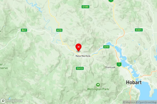
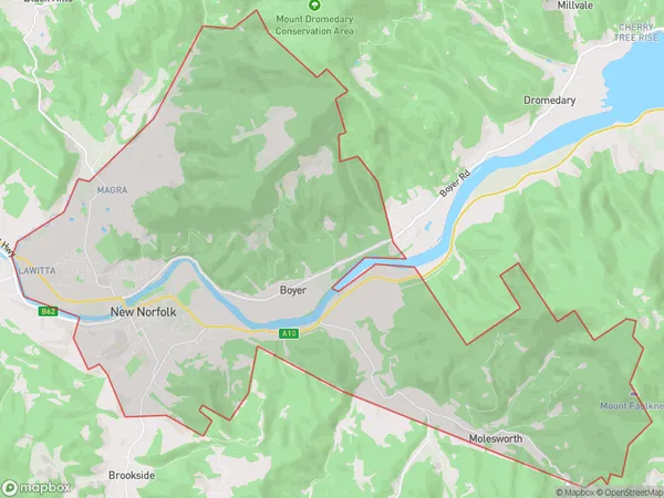
New Norfolk Suburbs & Region, New Norfolk Map & Postcodes
New Norfolk Suburbs & Region, New Norfolk Map & Postcodes in New Norfolk, West Coast, West and North West, TAS, AU
New Norfolk Region
Region Name
New Norfolk (TAS, AU)New Norfolk Area
63.26 square kilometers (63.26 ㎢)Postal Codes
7140 (In total, there are 1 postcodes in New Norfolk.)New Norfolk Introduction
New Norfolk is a locality in the West and North West regions of Tasmania, Australia. It is located in the Derwent Valley Council area. The town is situated approximately 20 kilometers south of Hobart and 125 kilometers north of Devonport. New Norfolk was established in the 1820s and is named after Norfolk Island. The town is known for its historic buildings, including the New Norfolk Gaol, which is now a museum. The area is also popular for its agriculture, with many farms producing fruits, vegetables, and dairy products. The town has a population of around 3,000 people and is surrounded by beautiful countryside, including the Mount Wellington National Park.Australia State
City or Big Region
Greater Capital City
Greater Hobart (6GHOB)District or Regional Area
Suburb Name
New Norfolk Region Map

New Norfolk Postcodes / Zip Codes
New Norfolk Suburbs
New Norfolk full address
New Norfolk, West Coast, West and North West, Tasmania, TAS, Australia, SaCode: 601031020Country
New Norfolk, West Coast, West and North West, Tasmania, TAS, Australia, SaCode: 601031020
New Norfolk Suburbs & Region, New Norfolk Map & Postcodes has 0 areas or regions above, and there are 6 New Norfolk suburbs below. The sa2code for the New Norfolk region is 601031020. Its latitude and longitude coordinates are -42.7648,147.038. New Norfolk area belongs to Australia's greater capital city Greater Hobart.
New Norfolk Suburbs & Localities
1. Boyer
2. Magra
3. Lawitta
4. Malbina
5. New Norfolk
6. Sorell Creek
