Leinster Leonora Suburbs & Region, Leinster Leonora Map & Postcodes
Leinster Leonora Suburbs & Region, Leinster Leonora Map & Postcodes in Leinster Leonora, Mid West, Western Australia Outback, WA, AU
Leinster Leonora Region
Region Name
Leinster Leonora (WA, AU)Leinster Leonora Area
495840 square kilometers (495,840 ㎢)Leinster Leonora Suburb Area Map (Polygon)

Leinster Leonora Introduction
Leinster Leonora is a town in the Eastern Goldfields of Western Australia. It is located in the Shire of Leonora, 322 kilometers northeast of the state capital, Perth. The town is named after the Irish town of Leinster. The nearest large town is Kalgoorlie, 325 kilometers to the northeast. Leinster is a mining town with a population of around 2,000 people. The town is home to the Leinster Mine, one of the largest gold mines in Western Australia. The mine is operated by Gold Fields Limited. The town also has a hospital, a primary school, a post office, a supermarket, and a number of cafes and restaurants. The surrounding area is known for its scenic beauty, with the nearby Mount Leonora National Park offering hiking and camping opportunities.Australia State
City or Big Region
Greater Capital City
Rest of WA (5RWAU)District or Regional Area
Suburb Name
Leinster Leonora Region Map
Leinster Leonora Suburbs
Leinster Leonora full address
Leinster Leonora, Mid West, Western Australia Outback, Western Australia, WA, Australia, SaCode: 511031283Country
Leinster Leonora, Mid West, Western Australia Outback, Western Australia, WA, Australia, SaCode: 511031283
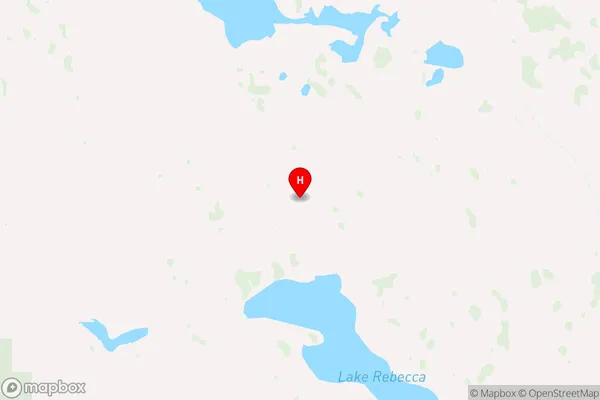
Leinster Leonora Suburbs & Region, Leinster Leonora Map & Postcodes has 0 areas or regions above, and there are 0 Leinster Leonora suburbs below. The sa2code for the Leinster Leonora region is 511031283. Its latitude and longitude coordinates are -29.7151,122.105. Leinster Leonora area belongs to Australia's greater capital city Rest of WA.