Leonora Area, Leonora Postcode(6438) & Map in Leonora, Western Australia - Outback (South), WA
Leonora Area, Leonora Postcode(6438) & Map in Leonora, Western Australia - Outback (South), WA, AU, Postcode: 6438
Leonora, Leinster - Leonora, Goldfields, Western Australia - Outback (South), Western Australia, Australia, 6438
Leonora Postcode
Area Name
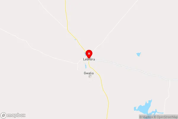
LeonoraLeonora Suburb Area Map (Polygon)

Leonora Introduction
Leonora is a small town in Western Australia's Outback (South) region, located 900 km northeast of Perth. It is known for its mining industry and is home to the Leonora Gold Mine, one of the largest gold mines in Australia. The town has a population of around 1,000 people and offers a range of amenities, including a hospital, schools, and a shopping center.State Name
City or Big Region
District or Regional Area
Suburb Name
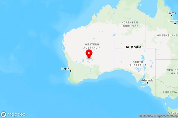
Leonora Region Map
Country
Main Region in AU
R3Coordinates
-28.8850017,121.3308316 (latitude/longitude)Leonora Area Map (Street)
Longitude
121.092655Latitude
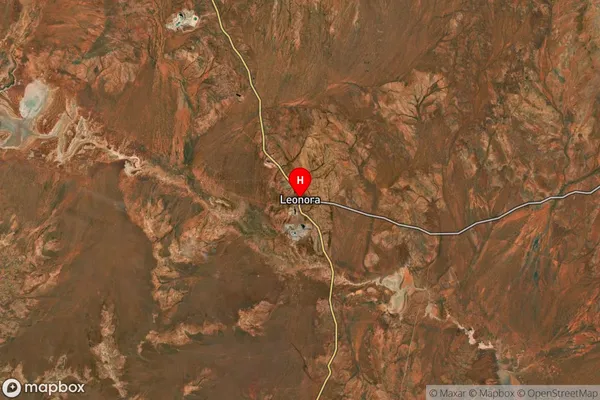
-28.900034Leonora Suburb Map (Satellite)
Distances
The distance from Leonora, Western Australia - Outback (South), WA to AU Greater Capital CitiesSA1 Code 2011
50803120311SA1 Code 2016
51103128303SA2 Code
511031283SA3 Code
51103SA4 Code
511RA 2011
5RA 2016
5MMM 2015
7MMM 2019
7Charge Zone
W2LGA Region
LeonoraLGA Code
55040Electorate
Durack