Laverton Area, Laverton Postcode(6440) & Map in Laverton, Western Australia - Outback (South), WA
Laverton Area, Laverton Postcode(6440) & Map in Laverton, Western Australia - Outback (South), WA, AU, Postcode: 6440
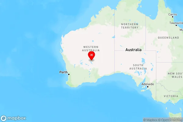
Laverton, Leinster - Leonora, Goldfields, Western Australia - Outback (South), Western Australia, Australia, 6440
Laverton Postcode
Area Name
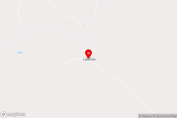
LavertonLaverton Suburb Area Map (Polygon)

Laverton Introduction
Laverton is a small town in Western Australia's Goldfields region, located 620 kilometers northeast of Perth. It is known for its mining industry and is home to the Super Pit gold mine, one of the largest in the world. Laverton is also a popular destination for tourists, with many attractions including the Goldfields War Museum, the Laverton Historical Society Museum, and the Laverton Golf Club.State Name
City or Big Region
District or Regional Area
Suburb Name
Laverton Region Map
Country
Main Region in AU
R3Coordinates
-28.6256573,122.4013434 (latitude/longitude)Laverton Area Map (Street)
Longitude
125.733157Latitude
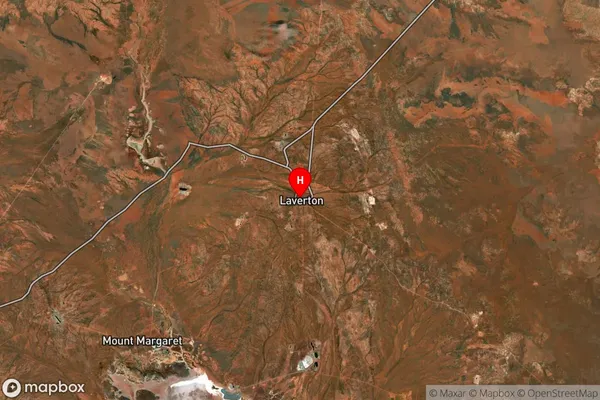
-26.168944Laverton Suburb Map (Satellite)
Distances
The distance from Laverton, Western Australia - Outback (South), WA to AU Greater Capital CitiesSA1 Code 2011
50803120314SA1 Code 2016
51103128305SA2 Code
511031283SA3 Code
51103SA4 Code
511RA 2011
5RA 2016
5MMM 2015
7MMM 2019
7Charge Zone
W2LGA Region
NgaanyatjarrakuLGA Code
56620Electorate
Durack