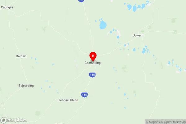
Dowerin Suburbs & Region, Dowerin Map & Postcodes
Dowerin Suburbs & Region, Dowerin Map & Postcodes in Dowerin, Wheat Belt North, Western Australia Wheat Belt, WA, AU
Dowerin Region
Region Name
Dowerin (WA, AU)Dowerin Area
11490 square kilometers (11,490 ㎢)Postal Codes
6401, from 6460 to 6463, from 6465 to 6467, 6470, 6475, 6485, 6603, 6605, and 6606 (In total, there are 14 postcodes in Dowerin.)Dowerin Introduction
Dowerin is a town in the Wheatbelt region of Western Australia, 156 kilometers northeast of Perth, the state capital. It is part of the Shire of Dowerin and is located on the Southern Highway. The town was established in 1892 and named after the Dowerin district, which was one of the earliest wheat-growing areas in Western Australia. The town has a population of around 2,000 people and is known for its historic grain silos and the annual Dowerin Machinery Field Days. The town also has a golf course, a swimming pool, and a variety of shops and services.Australia State
City or Big Region
Greater Capital City
Rest of WA (5RWAU)District or Regional Area
Suburb Name
Dowerin Region Map

Dowerin Postcodes / Zip Codes
Dowerin Suburbs
Dowerin full address
Dowerin, Wheat Belt North, Western Australia Wheat Belt, Western Australia, WA, Australia, SaCode: 509021238Country
Dowerin, Wheat Belt North, Western Australia Wheat Belt, Western Australia, WA, Australia, SaCode: 509021238
Dowerin Suburbs & Region, Dowerin Map & Postcodes has 0 areas or regions above, and there are 42 Dowerin suburbs below. The sa2code for the Dowerin region is 509021238. Its latitude and longitude coordinates are -31.2967,116.83. Dowerin area belongs to Australia's greater capital city Rest of WA.
Dowerin Suburbs & Localities
1. Cunjardine
2. Jennacubbine
3. Mumberkine
4. Rossmore
5. Wongamine
6. Goomalling
7. Hulongine
8. Karranadgin
9. Ucarty West
10. Walyormouring
11. Dowerin
12. Koomberkine
13. Hindmarsh
14. Minnivale
15. Ucarty
16. Benjaberring
17. Manmanning
18. Cadoux
19. Burakin
20. Kulja
21. Badgerin Rock
22. Booralaming
23. Dukin
24. Koorda
25. Lake Margarette
26. Mollerin
27. Newcarlbeon
28. Cowcowing
29. Korrelocking
30. Nalkain
31. Nembudding
32. Wyalkatchem
33. Konnongorring
34. Lake Hinds
35. Lake Ninan
36. Mocardy
37. Wongan Hills
38. Kondut
39. Ballidu
40. East Ballidu
41. East Damboring
42. West Ballidu
