Cunderdin Suburbs & Region, Cunderdin Map & Postcodes
Cunderdin Suburbs & Region, Cunderdin Map & Postcodes in Cunderdin, Wheat Belt North, Western Australia Wheat Belt, WA, AU
Cunderdin Region
Region Name
Cunderdin (WA, AU)Cunderdin Area
6897 square kilometers (6,897 ㎢)Cunderdin Suburb Area Map (Polygon)

Cunderdin Introduction
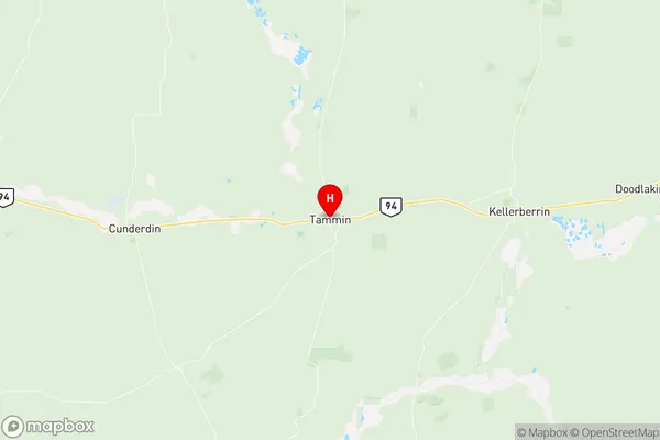
Cunderdin is a town in the Wheatbelt region of Western Australia, 236 kilometers southeast of Perth, the state capital. It is a farming community and a rail siding on the Southern Railway. The town was named after the Cunderdin River, which flows through it, and was established in 1912. The Cunderdin Airfield is a major regional airport, providing air services to the Wheatbelt and beyond. The town has a population of around 2,000 people and is known for its agricultural industry, with wheat, barley, and sheep being the major crops grown. The town also has a golf course, a swimming pool, and a community hall.Australia State
City or Big Region
Greater Capital City
Rest of WA (5RWAU)District or Regional Area
Suburb Name
Cunderdin Region Map
Cunderdin Suburbs
Cunderdin full address
Cunderdin, Wheat Belt North, Western Australia Wheat Belt, Western Australia, WA, Australia, SaCode: 509021237Country
Cunderdin, Wheat Belt North, Western Australia Wheat Belt, Western Australia, WA, Australia, SaCode: 509021237
Cunderdin Suburbs & Region, Cunderdin Map & Postcodes has 0 areas or regions above, and there are 0 Cunderdin suburbs below. The sa2code for the Cunderdin region is 509021237. Its latitude and longitude coordinates are -31.642,117.487. Cunderdin area belongs to Australia's greater capital city Rest of WA.