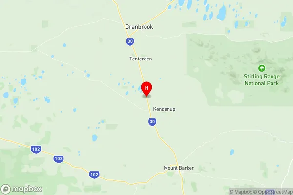
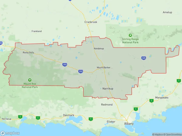
Plantagenet Suburbs & Region, Plantagenet Map & Postcodes
Plantagenet Suburbs & Region, Plantagenet Map & Postcodes in Plantagenet, Albany, Western Australia Wheat Belt, WA, AU
Plantagenet Region
Region Name
Plantagenet (WA, AU)Plantagenet Area
4384 square kilometers (4,384 ㎢)Postal Codes
6323, 6324, 6326, and 6397 (In total, there are 4 postcodes in Plantagenet.)Plantagenet Introduction
Plantagenet is a town in the Wheatbelt region of Western Australia, 266 kilometres (166 mi) east of Perth, the state capital. It is part of the Shire of Plantagenet and is located in the Wheatbelt (Western Australia) agricultural area. The town was named after the English royal family and was established in 1912. The town has a population of around 1,000 people and is a major hub for the wheat industry in the region. The town is surrounded by farmland and has a number of historic buildings, including the Plantagenet Hotel and the Old Mill. The town also has a community hall, a swimming pool, and a sports ground.Australia State
City or Big Region
Greater Capital City
Rest of WA (5RWAU)District or Regional Area
Suburb Name
Plantagenet Region Map

Plantagenet Postcodes / Zip Codes
Plantagenet Suburbs
Plantagenet full address
Plantagenet, Albany, Western Australia Wheat Belt, Western Australia, WA, Australia, SaCode: 509011234Country
Plantagenet, Albany, Western Australia Wheat Belt, Western Australia, WA, Australia, SaCode: 509011234
Plantagenet Suburbs & Region, Plantagenet Map & Postcodes has 0 areas or regions above, and there are 10 Plantagenet suburbs below. The sa2code for the Plantagenet region is 509011234. Its latitude and longitude coordinates are -34.4586,117.573. Plantagenet area belongs to Australia's greater capital city Rest of WA.
Plantagenet Suburbs & Localities
1. Takalarup
2. Narrikup
3. Kendenup
4. Denbarker
5. Forest Hill
6. Mount Barker
7. Woogenellup
8. Rocky Gully
9. Perillup
10. Porongurup
