Bayonet Head Lower King Suburbs & Region, Bayonet Head Lower King Map & Postcodes
Bayonet Head Lower King Suburbs & Region, Bayonet Head Lower King Map & Postcodes in Bayonet Head Lower King, Albany, Western Australia Wheat Belt, WA, AU
Bayonet Head Lower King Region
Region Name
Bayonet Head Lower King (WA, AU)Bayonet Head Lower King Area
24.87 square kilometers (24.87 ㎢)Postal Codes
6330 (In total, there are 1 postcodes in Bayonet Head Lower King.)Bayonet Head Lower King Introduction
The Bayonet Head Lower King is a wind farm in the Western Australia Wheat Belt region, about 350 kilometers southeast of Perth. The wind farm has 112 wind turbines, each with a capacity of 2.5 MW, and has a total generating capacity of 287 MW. The wind farm is owned and operated by Bayonet Head Wind Farm Pty Ltd, a subsidiary of China's State Power Investment Corporation. The wind farm is connected to the Western Australia grid through a 275 kV transmission line. The wind farm provides electricity to the local community and helps to reduce greenhouse gas emissions.Australia State
City or Big Region
Greater Capital City
Rest of WA (5RWAU)District or Regional Area
Suburb Name
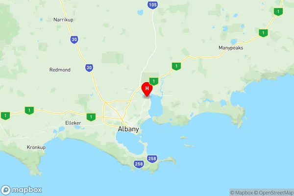
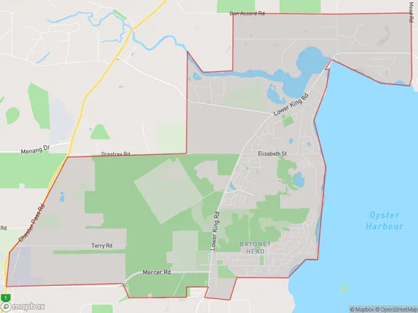
Bayonet Head Lower King Region Map

Bayonet Head Lower King Postcodes / Zip Codes
Bayonet Head Lower King Suburbs
Bayonet Head Lower King full address
Bayonet Head Lower King, Albany, Western Australia Wheat Belt, Western Australia, WA, Australia, SaCode: 509011227Country
Bayonet Head Lower King, Albany, Western Australia Wheat Belt, Western Australia, WA, Australia, SaCode: 509011227
Bayonet Head Lower King Suburbs & Region, Bayonet Head Lower King Map & Postcodes has 0 areas or regions above, and there are 3 Bayonet Head Lower King suburbs below. The sa2code for the Bayonet Head Lower King region is 509011227. Its latitude and longitude coordinates are -34.9538,117.936. Bayonet Head Lower King area belongs to Australia's greater capital city Rest of WA.
Bayonet Head Lower King Suburbs & Localities
1. Lower King
2. Walmsley
3. Bayonet Head
