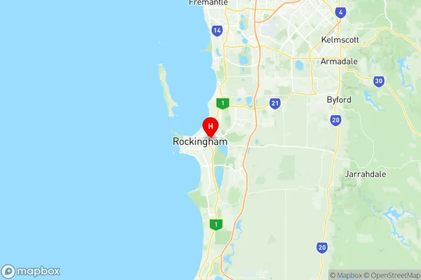
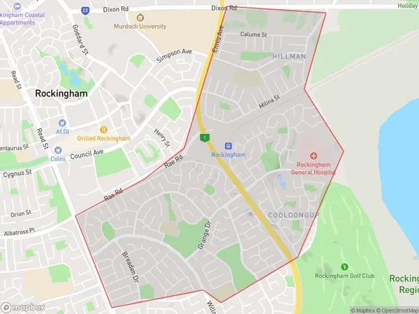
Cooloongup Suburbs & Region, Cooloongup Map & Postcodes
Cooloongup Suburbs & Region, Cooloongup Map & Postcodes in Cooloongup, Rockingham, Perth South West, WA, AU
Cooloongup Region
Region Name
Cooloongup (WA, AU)Cooloongup Area
4.99 square kilometers (4.99 ㎢)Postal Codes
6168 (In total, there are 1 postcodes in Cooloongup.)Cooloongup Introduction
Cooloongup is a locality in the City of Cockburn, Western Australia, 26 km south of Perth's central business district (CBD) and 12 km south of the port city of Fremantle. The name Cooloongup is derived from the Noongar word "Kooloongup," which means "place of shelter." The locality is part of the City of Cockburn's southern suburbs and is bordered by the Indian Ocean to the south, the Kwinana Freeway to the north, and the Armadale-Byford railway line to the east. Cooloongup has a population of around 3,000 people and is home to a number of parks and recreational facilities, including the Cooloongup Reserve, which features a playground, picnic areas, and walking trails. The area is also known for its agricultural industry, with a number of farms and wineries located in the surrounding area.Australia State
City or Big Region
Greater Capital City
Greater Perth (5GPER)District or Regional Area
Suburb Name
Cooloongup Region Map

Cooloongup Postcodes / Zip Codes
Cooloongup Suburbs
Cooloongup full address
Cooloongup, Rockingham, Perth South West, Western Australia, WA, Australia, SaCode: 507051186Country
Cooloongup, Rockingham, Perth South West, Western Australia, WA, Australia, SaCode: 507051186
Cooloongup Suburbs & Region, Cooloongup Map & Postcodes has 0 areas or regions above, and there are 2 Cooloongup suburbs below. The sa2code for the Cooloongup region is 507051186. Its latitude and longitude coordinates are -32.2829,115.763. Cooloongup area belongs to Australia's greater capital city Greater Perth.
Cooloongup Suburbs & Localities
1. Hillman
2. Cooloongup
