Cooloongup Area, Cooloongup Postcode(6168) & Map in Cooloongup, Perth - South West, WA
Cooloongup Area, Cooloongup Postcode(6168) & Map in Cooloongup, Perth - South West, WA, AU, Postcode: 6168
Cooloongup, Cooloongup, Rockingham, Perth - South West, Western Australia, Australia, 6168
Cooloongup Postcode
Area Name
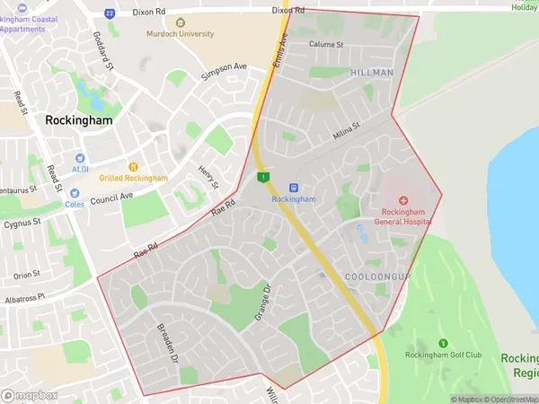
CooloongupCooloongup Suburb Area Map (Polygon)
Cooloongup Introduction
Cooloongup is a suburb of Perth, Western Australia, located 22 kilometers south of the city center. It is known for its natural beauty, including the nearby Yellagonga Regional Park and the coastal areas of Rockingham and Mandurah. Cooloongup has a population of approximately 10,000 people and is a popular residential area with a mix of housing types.State Name
City or Big Region
District or Regional Area
Suburb Name
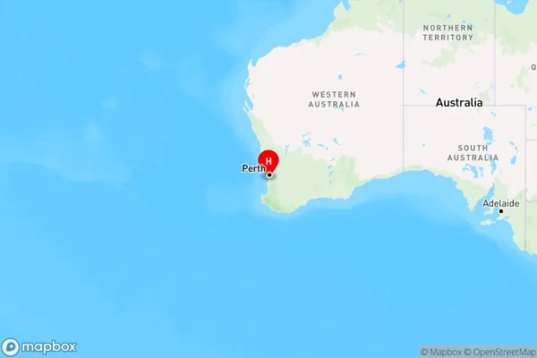
Cooloongup Region Map
Country
Main Region in AU
R2Coordinates
-32.2945848,115.7629192 (latitude/longitude)Cooloongup Area Map (Street)
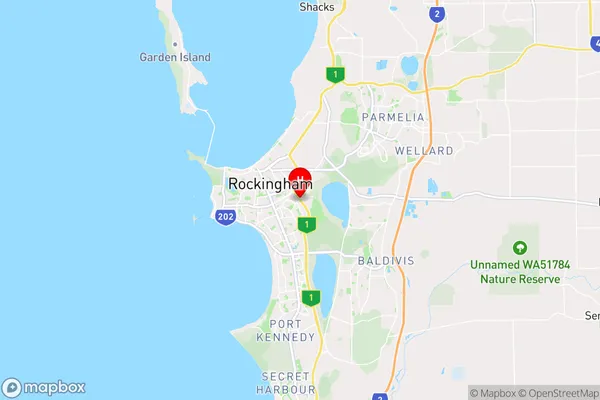
Longitude
115.75773Latitude
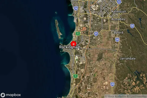
-32.281957Cooloongup Suburb Map (Satellite)
Distances
The distance from Cooloongup, Perth - South West, WA to AU Greater Capital CitiesSA1 Code 2011
50705118610SA1 Code 2016
50705118610SA2 Code
507051186SA3 Code
50705SA4 Code
507RA 2011
1RA 2016
1MMM 2015
1MMM 2019
1Charge Zone
W1LGA Region
RockinghamLGA Code
57490Electorate
Brand