Perth Airport Suburbs & Region, Perth Airport Map & Postcodes
Perth Airport Suburbs & Region, Perth Airport Map & Postcodes in Perth Airport, Kalamunda, Perth South East, WA, AU
Perth Airport Region
Region Name
Perth Airport (WA, AU)Perth Airport Area
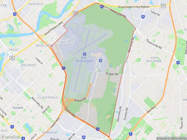
20.32 square kilometers (20.32 ㎢)Postal Codes
6105 (In total, there are 1 postcodes in Perth Airport.)Perth Airport Introduction
Perth Airport, Perth South East, Western Australia, AU, is the main international and domestic airport serving Perth, the capital city of Western Australia. It is located approximately 10 miles (16 km) southeast of Perth's central business district and is the second busiest airport in Australia after Sydney Airport. Perth Airport offers a wide range of services and facilities to passengers, including a variety of shops, restaurants, cafes, and lounges. It also has a range of passenger amenities, such as free Wi-Fi, charging stations, and currency exchange services. The airport is home to a number of airlines, including Qantas, Virgin Australia, Emirates, and Singapore Airlines, which operate flights to a wide range of destinations around the world. Perth Airport is a major hub for tourism and business in Western Australia, with many visitors and workers arriving and departing from the airport each day. It is also a major training center for pilots and air traffic controllers, with the Royal Australian Air Force and the Civil Aviation Safety Authority having bases at the airport. In terms of infrastructure, Perth Airport is well-equipped to handle the growing demand for air travel. It has two main passenger terminals, a dedicated cargo terminal, and a range of aircraft maintenance and repair facilities. The airport also has a number of parking options, including short-term and long-term parking, as well as valet parking and car rental services. Overall, Perth Airport is a vitalAustralia State
City or Big Region
Greater Capital City
Greater Perth (5GPER)District or Regional Area
Suburb Name
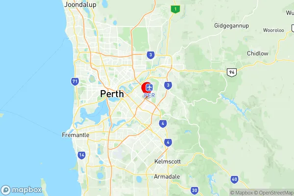
Perth Airport Region Map

Perth Airport Postcodes / Zip Codes
Perth Airport Suburbs
Perth Airport full address
Perth Airport, Kalamunda, Perth South East, Western Australia, WA, Australia, SaCode: 506021121Country
Perth Airport, Kalamunda, Perth South East, Western Australia, WA, Australia, SaCode: 506021121
Perth Airport Suburbs & Region, Perth Airport Map & Postcodes has 0 areas or regions above, and there are 1 Perth Airport suburbs below. The sa2code for the Perth Airport region is 506021121. Its latitude and longitude coordinates are -31.9657,115.959. Perth Airport area belongs to Australia's greater capital city Greater Perth.
Perth Airport Suburbs & Localities
1. Perth Airport
