Roleystone Suburbs & Region, Roleystone Map & Postcodes
Roleystone Suburbs & Region, Roleystone Map & Postcodes in Roleystone, Wheat Belt North, Western Australia Wheat Belt, WA, AU
Roleystone Region
Region Name
Roleystone (WA, AU)Roleystone Area
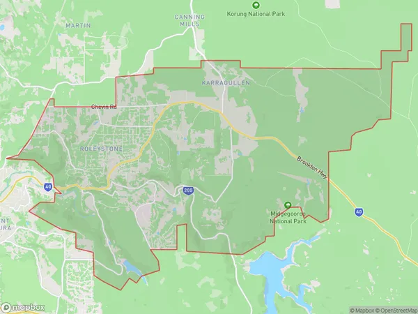
74.81 square kilometers (74.81 ㎢)Roleystone Introduction
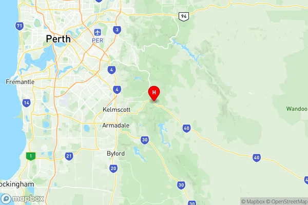
Roleystone is a town in the Shire of Mundaring, Western Australia, 35 km east of Perth, the state capital. The town is in the agricultural area of the Wheat Belt and is a major grain receival point for the Western Australian Department of Agriculture. The town was named after the Roleystone ironstone mine, which was established in 1902 and operated until 1967. The mine was a major source of employment for the town and the surrounding area and played a significant role in the development of the Wheat Belt. Today, Roleystone is a quiet town with a population of around 2,000 people. It is home to a primary school, a post office, a supermarket, a medical center, and a variety of other services. The town is also a popular tourist destination, with many visitors coming to explore the nearby national parks and wildlife reserves.Australia State
City or Big Region
Greater Capital City
Greater Perth (5GPER)District or Regional Area
Suburb Name
Roleystone Region Map

Roleystone Suburbs
Roleystone full address
Roleystone, Wheat Belt North, Western Australia Wheat Belt, Western Australia, WA, Australia, SaCode: 506011116Country
Roleystone, Wheat Belt North, Western Australia Wheat Belt, Western Australia, WA, Australia, SaCode: 506011116
Roleystone Suburbs & Region, Roleystone Map & Postcodes has 0 areas or regions above, and there are 0 Roleystone suburbs below. The sa2code for the Roleystone region is 506011116. Its latitude and longitude coordinates are -32.1004,116.117. Roleystone area belongs to Australia's greater capital city Greater Perth.
