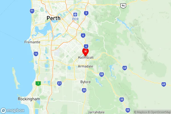
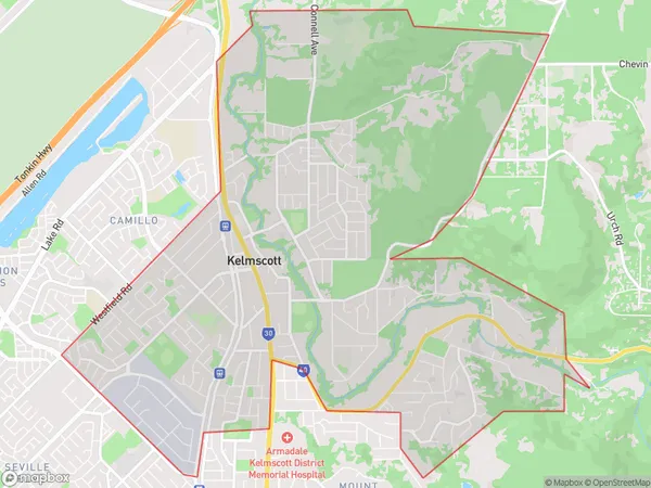
Kelmscott Suburbs & Region, Kelmscott Map & Postcodes
Kelmscott Suburbs & Region, Kelmscott Map & Postcodes in Kelmscott, Wheat Belt North, Western Australia Wheat Belt, WA, AU
Kelmscott Region
Region Name
Kelmscott (WA, AU)Kelmscott Area
15.04 square kilometers (15.04 ㎢)Postal Codes
6111, 6991, and 6997 (In total, there are 3 postcodes in Kelmscott.)Kelmscott Introduction
Kelmscott is a town in the Shire of Harvey, Western Australia, 125 km (78 mi) southeast of Perth, the state capital. It is part of the Perth metropolitan area. The town is named after William Kelmscott, who was the first squatter to take up land in the area in 1891. The town was established in 1901 and was originally a mining town. The main industry in the town is still mining, with gold being the most important mineral mined. The town also has a number of other industries, including agriculture and manufacturing. The population of the town is 2,000 people.Australia State
City or Big Region
Greater Capital City
Greater Perth (5GPER)District or Regional Area
Suburb Name
Kelmscott Region Map

Kelmscott Postcodes / Zip Codes
Kelmscott Suburbs
Kelmscott full address
Kelmscott, Wheat Belt North, Western Australia Wheat Belt, Western Australia, WA, Australia, SaCode: 506011114Country
Kelmscott, Wheat Belt North, Western Australia Wheat Belt, Western Australia, WA, Australia, SaCode: 506011114
Kelmscott Suburbs & Region, Kelmscott Map & Postcodes has 0 areas or regions above, and there are 4 Kelmscott suburbs below. The sa2code for the Kelmscott region is 506011114. Its latitude and longitude coordinates are -32.1144,116.015. Kelmscott area belongs to Australia's greater capital city Greater Perth.
Kelmscott Suburbs & Localities
1. Kelmscott Dc
2. Kelmscott
3. Kelmscott
4. Kelmscott Dc
