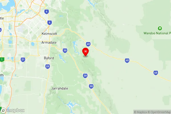
Ashendon Lesley Suburbs & Region, Ashendon Lesley Map & Postcodes
Ashendon Lesley Suburbs & Region, Ashendon Lesley Map & Postcodes in Ashendon Lesley, Wheat Belt North, Western Australia Wheat Belt, WA, AU
Ashendon Lesley Region
Region Name
Ashendon Lesley (WA, AU)Ashendon Lesley Area
326.29 square kilometers (326.29 ㎢)Postal Codes
6111 (In total, there are 1 postcodes in Ashendon Lesley.)Ashendon Lesley Introduction
Ashendon Lesley is a small town in the Wheatbelt region of Western Australia, located approximately 250 kilometers northeast of Perth. It is a rural community with a population of around 1,000 people and is known for its agricultural industry, with wheat and sheep farming being the main sources of income. The town has a primary school, a post office, a general store, and a community hall, and is surrounded by beautiful natural scenery, including the Darling Range and the Avon River. The town was named after the Ashendon Estate, which was established in the 1890s by the Lesley family.Australia State
City or Big Region
Greater Capital City
Greater Perth (5GPER)District or Regional Area
Suburb Name
Ashendon Lesley Region Map

Ashendon Lesley Postcodes / Zip Codes
Ashendon Lesley Suburbs
Ashendon Lesley full address
Ashendon Lesley, Wheat Belt North, Western Australia Wheat Belt, Western Australia, WA, Australia, SaCode: 506011111Country
Ashendon Lesley, Wheat Belt North, Western Australia Wheat Belt, Western Australia, WA, Australia, SaCode: 506011111
Ashendon Lesley Suburbs & Region, Ashendon Lesley Map & Postcodes has 0 areas or regions above, and there are 2 Ashendon Lesley suburbs below. The sa2code for the Ashendon Lesley region is 506011111. Its latitude and longitude coordinates are -32.2117,116.191. Ashendon Lesley area belongs to Australia's greater capital city Greater Perth.
Ashendon Lesley Suburbs & Localities
1. Ashendon
2. Lesley
