Gidgegannup Suburbs & Region, Gidgegannup Map & Postcodes
Gidgegannup Suburbs & Region, Gidgegannup Map & Postcodes in Gidgegannup, Wheat Belt North, Western Australia Wheat Belt, WA, AU
Gidgegannup Region
Region Name
Gidgegannup (WA, AU)Gidgegannup Area
304.89 square kilometers (304.89 ㎢)Postal Codes
6083 (In total, there are 1 postcodes in Gidgegannup.)Gidgegannup Introduction
Gidgegannup is a locality in the Shire of Northampton, Western Australia, 200 km east of Perth, the state capital. The town is named after the Gidgegannup River, which flows through it. The town was established in 1912 as a railway siding on the Eastern Railway. The railway was closed in 1978, and the siding was converted to a grain storage and handling facility. The town has a population of around 200 people. The Gidgegannup Industrial Estate is located in the town and is home to a number of businesses, including a grain processing plant, a sawmill, and a timber processing plant. The town is also home to the Gidgegannup Aboriginal Community, which has a population of around 500 people. The community is located on the traditional lands of the Noongar people and is known for its rich cultural heritage. The town has a primary school, a post office, a general store, and a community hall. The Gidgegannup region is known for its agriculture, with wheat, barley, and sheep being the main crops grown. The region is also home to a number of wineries and breweries.Australia State
City or Big Region
Greater Capital City
Greater Perth (5GPER)District or Regional Area
Suburb Name
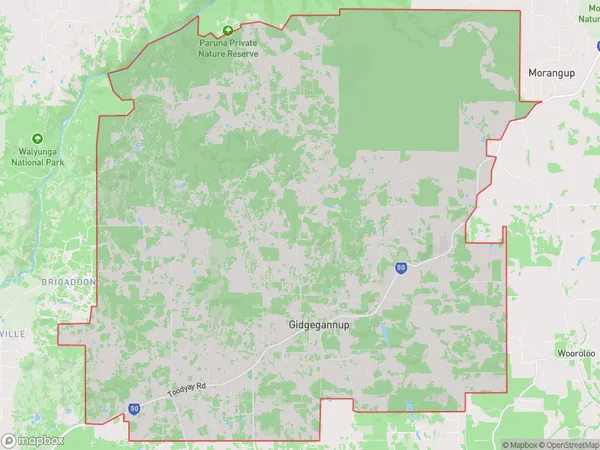
Gidgegannup Region Map

Gidgegannup Postcodes / Zip Codes
Gidgegannup Suburbs
Gidgegannup full address
Gidgegannup, Wheat Belt North, Western Australia Wheat Belt, Western Australia, WA, Australia, SaCode: 504031060Country
Gidgegannup, Wheat Belt North, Western Australia Wheat Belt, Western Australia, WA, Australia, SaCode: 504031060
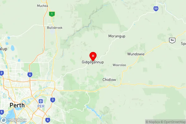
Gidgegannup Suburbs & Region, Gidgegannup Map & Postcodes has 0 areas or regions above, and there are 1 Gidgegannup suburbs below. The sa2code for the Gidgegannup region is 504031060. Its latitude and longitude coordinates are -31.7931,116.197. Gidgegannup area belongs to Australia's greater capital city Greater Perth.
Gidgegannup Suburbs & Localities
1. Gidgegannup
