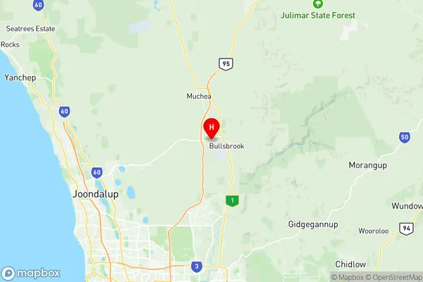
Bullsbrook Suburbs & Region, Bullsbrook Map & Postcodes
Bullsbrook Suburbs & Region, Bullsbrook Map & Postcodes in Bullsbrook, Wheat Belt North, Western Australia Wheat Belt, WA, AU
Bullsbrook Region
Region Name
Bullsbrook (WA, AU)Bullsbrook Area
253.86 square kilometers (253.86 ㎢)Bullsbrook Introduction
Bullsbrook is a town in the Shire of Mundaring, Western Australia, 25 km east of Perth, the state capital. It is part of the City of Swan Metropolitan Region. The town is named after the Bull Brook, which runs through it. The post office opened on 1 November 1891 and was closed on 1 March 1974. The town was gazetted in 1905.Australia State
City or Big Region
Greater Capital City
Greater Perth (5GPER)District or Regional Area
Suburb Name
Bullsbrook Region Map

Bullsbrook Suburbs
Bullsbrook full address
Bullsbrook, Wheat Belt North, Western Australia Wheat Belt, Western Australia, WA, Australia, SaCode: 504031058Country
Bullsbrook, Wheat Belt North, Western Australia Wheat Belt, Western Australia, WA, Australia, SaCode: 504031058
Bullsbrook Suburbs & Region, Bullsbrook Map & Postcodes has 0 areas or regions above, and there are 0 Bullsbrook suburbs below. The sa2code for the Bullsbrook region is 504031058. Its latitude and longitude coordinates are -31.6554,115.998. Bullsbrook area belongs to Australia's greater capital city Greater Perth.
