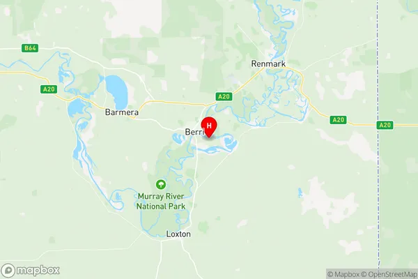
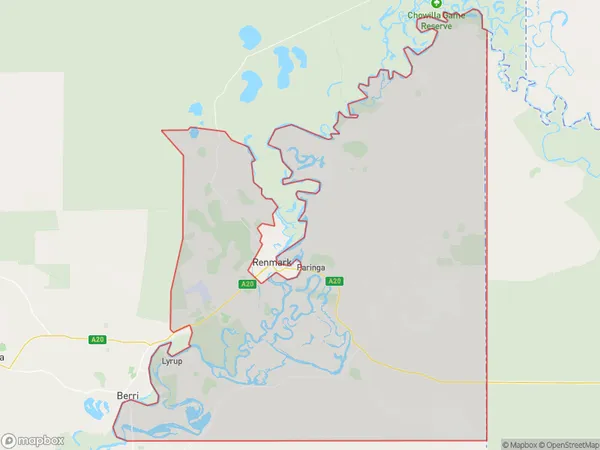
Renmark Region Suburbs & Region, Renmark Region Map & Postcodes
Renmark Region Suburbs & Region, Renmark Region Map & Postcodes in Renmark Region, Murray and Mallee, South Australia South East, SA, AU
Renmark Region Region
Region Name
Renmark Region (SA, AU)Renmark Region Area
901.79 square kilometers (901.79 ㎢)Renmark Region Introduction
The Renmark Region is a local government area in the South Australian state of South East. It is situated in the state's south-east and borders the River Murray, the Mount Lofty Ranges, and the Victorian state border. The region is home to the towns of Renmark, Paringa, and Barmera. The Renmark Paringa Council is the governing body of the region. The region is known for its agriculture, particularly wine production, and tourism. It is also home to several national parks, including the Pyrenees National Park and the Riverland Conservation Park.Australia State
City or Big Region
Greater Capital City
Rest of SA (4RSAU)District or Regional Area
Suburb Name
Renmark Region Region Map

Renmark Region Suburbs
Renmark Region full address
Renmark Region, Murray and Mallee, South Australia South East, South Australia, SA, Australia, SaCode: 407031168Country
Renmark Region, Murray and Mallee, South Australia South East, South Australia, SA, Australia, SaCode: 407031168
Renmark Region Suburbs & Region, Renmark Region Map & Postcodes has 0 areas or regions above, and there are 0 Renmark Region suburbs below. The sa2code for the Renmark Region region is 407031168. Its latitude and longitude coordinates are -34.2977,140.63. Renmark Region area belongs to Australia's greater capital city Rest of SA.
