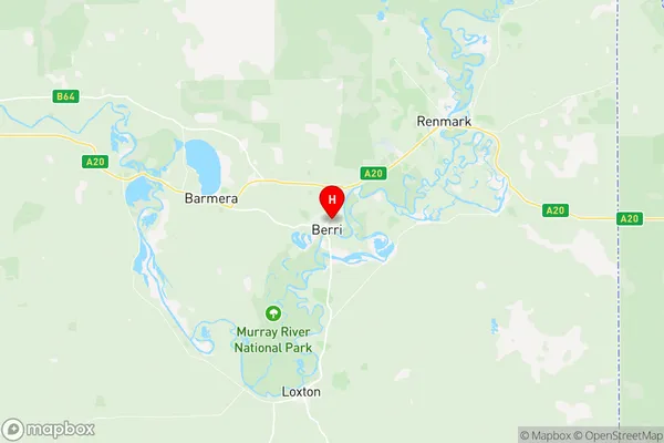
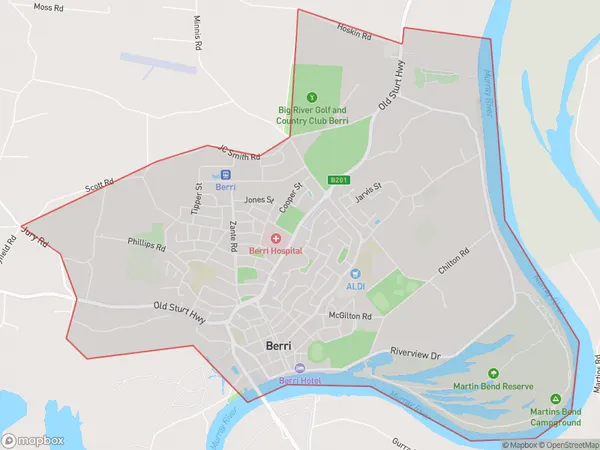
Berri Suburbs & Region, Berri Map & Postcodes
Berri Suburbs & Region, Berri Map & Postcodes in Berri, Murray and Mallee, South Australia South East, SA, AU
Berri Region
Region Name
Berri (SA, AU)Berri Area
12.08 square kilometers (12.08 ㎢)Postal Codes
5343 (In total, there are 1 postcodes in Berri.)Berri Introduction
Berri is a town in the Riverland region of South Australia, located about 50 kilometers southeast of Adelaide. It is a popular tourist destination known for its wine production and the Berri Riverside Festival, which is held annually in March. The town has a population of around 2,000 people and is surrounded by picturesque vineyards and orchards. The Berri River flows through the town, providing water for irrigation and recreation. The nearby Lake Bonney is a popular spot for fishing and swimming. The town also has a historic railway station, a museum, and a variety of shops and cafes.Australia State
City or Big Region
Greater Capital City
Rest of SA (4RSAU)District or Regional Area
Suburb Name
Berri Region Map

Berri Postcodes / Zip Codes
Berri Suburbs
Berri full address
Berri, Murray and Mallee, South Australia South East, South Australia, SA, Australia, SaCode: 407031160Country
Berri, Murray and Mallee, South Australia South East, South Australia, SA, Australia, SaCode: 407031160
Berri Suburbs & Region, Berri Map & Postcodes has 0 areas or regions above, and there are 1 Berri suburbs below. The sa2code for the Berri region is 407031160. Its latitude and longitude coordinates are -34.277,140.608. Berri area belongs to Australia's greater capital city Rest of SA.
Berri Suburbs & Localities
1. Berri
