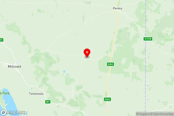
Penola Suburbs & Region, Penola Map & Postcodes
Penola Suburbs & Region, Penola Map & Postcodes in Penola, Limestone Coast, South Australia South East, SA, AU
Penola Region
Region Name
Penola (SA, AU)Penola Area
1514 square kilometers (1,514 ㎢)Postal Codes
5263, and from 5277 to 5279 (In total, there are 4 postcodes in Penola.)Penola Introduction
Penola is a town in the Mount Gambier region of South Australia. It is located in the Limestone Coast region and is 212 kilometers southeast of Adelaide. The town is named after the Penola River, which flows through it. The Penola Industrial Estate is a major employer in the area, with a number of wineries and breweries located nearby. The town has a population of around 4,000 people and is known for its historic buildings, including the Penola Catholic Church and the Penola Cheese Factory. The Penola Heritage Park is also a popular tourist attraction, with a number of historic buildings and monuments.Australia State
City or Big Region
Greater Capital City
Rest of SA (4RSAU)District or Regional Area
Suburb Name
Penola Region Map

Penola Postcodes / Zip Codes
Penola Suburbs
Penola full address
Penola, Limestone Coast, South Australia South East, South Australia, SA, Australia, SaCode: 407021156Country
Penola, Limestone Coast, South Australia South East, South Australia, SA, Australia, SaCode: 407021156
Penola Suburbs & Region, Penola Map & Postcodes has 0 areas or regions above, and there are 11 Penola suburbs below. The sa2code for the Penola region is 407021156. Its latitude and longitude coordinates are -37.5628,140.696. Penola area belongs to Australia's greater capital city Rest of SA.
Penola Suburbs & Localities
1. Coonawarra
2. Glenroy
3. Monbulla
4. Nangwarry
5. Comaum
6. Maaoupe
7. Penola
8. Kalangadoo
9. Moerlong
10. Wattle Range East
11. Krongart
