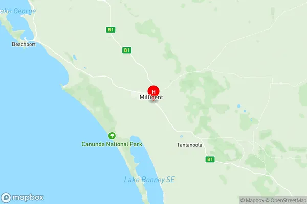
Millicent Suburbs & Region, Millicent Map & Postcodes
Millicent Suburbs & Region, Millicent Map & Postcodes in Millicent, Limestone Coast, South Australia South East, SA, AU
Millicent Region
Region Name
Millicent (SA, AU)Millicent Area
177.43 square kilometers (177.43 ㎢)Postal Codes
5280 (In total, there are 1 postcodes in Millicent.)Millicent Introduction
Millicent is a town in the Limestone Coast region of South Australia. It is situated in the Mount Gambier City Council area and is approximately 225 kilometers southeast of Adelaide. The town is named after Millicent Fawcett, a prominent Australian suffragist and political activist. Millicent is known for its agriculture, particularly the production of wheat, barley, and sheep. It also has a significant tourism industry, with many visitors coming to see the historic Millicent Fossil Forest and the Blue Lake. The town has a population of around 2,000 people and is home to several schools, a hospital, a supermarket, and a variety of shops and cafes.Australia State
City or Big Region
Greater Capital City
Rest of SA (4RSAU)District or Regional Area
Suburb Name
Millicent Region Map

Millicent Postcodes / Zip Codes
Millicent Suburbs
Millicent full address
Millicent, Limestone Coast, South Australia South East, South Australia, SA, Australia, SaCode: 407021152Country
Millicent, Limestone Coast, South Australia South East, South Australia, SA, Australia, SaCode: 407021152
Millicent Suburbs & Region, Millicent Map & Postcodes has 0 areas or regions above, and there are 2 Millicent suburbs below. The sa2code for the Millicent region is 407021152. Its latitude and longitude coordinates are -37.605,140.359. Millicent area belongs to Australia's greater capital city Rest of SA.
Millicent Suburbs & Localities
1. Millicent
2. Rocky Camp
