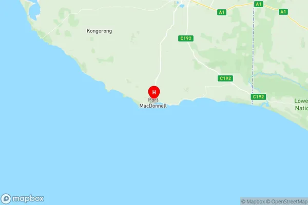
Grant Suburbs & Region, Grant Map & Postcodes
Grant Suburbs & Region, Grant Map & Postcodes in Grant, Limestone Coast, South Australia South East, SA, AU
Grant Region
Region Name
Grant (SA, AU)Grant Area
1691 square kilometers (1,691 ㎢)Postal Codes
5277, 5278, 5280, and 5291 (In total, there are 4 postcodes in Grant.)Grant Introduction
Grant is a locality in the Mount Gambier region of South Australia. It is situated in the Limestone Coast Council local government area. The town is named after Sir Robert Grant, who was a Governor of South Australia. The post office opened on 1 October 1891 and was closed on 1 March 1974. The town is located on the Mount Gambier-Portland Road. The 2016 census recorded a population of 1,214 for the town.Australia State
City or Big Region
Greater Capital City
Rest of SA (4RSAU)District or Regional Area
Suburb Name
Grant Region Map

Grant Postcodes / Zip Codes
Grant Suburbs
Grant full address
Grant, Limestone Coast, South Australia South East, South Australia, SA, Australia, SaCode: 407021150Country
Grant, Limestone Coast, South Australia South East, South Australia, SA, Australia, SaCode: 407021150
Grant Suburbs & Region, Grant Map & Postcodes has 0 areas or regions above, and there are 32 Grant suburbs below. The sa2code for the Grant region is 407021150. Its latitude and longitude coordinates are -38.0512,140.703. Grant area belongs to Australia's greater capital city Rest of SA.
Grant Suburbs & Localities
1. Tarpeena
2. Wepar
3. German Creek
4. Allendale East
5. Caroline
6. Mil Lel
7. Pelican Point
8. Pleasant Park
9. German Creek
10. Blackfellows Caves
11. Cape Douglas
12. Carpenter Rocks
13. Dismal Swamp
14. German Creek
15. Kongorong
16. Mount Schank
17. Nene Valley
18. Square Mile
19. Caveton
20. Donovans
21. Wye
22. Burrungule
23. Canunda
24. Eight Mile Creek
25. Mil Lel
26. Mingbool
27. O B Flat
28. Ob Flat
29. Port Macdonnell
30. Racecourse Bay
31. Wandilo
32. Yahl
