Strathalbyn Suburbs & Region, Strathalbyn Map & Postcodes
Strathalbyn Suburbs & Region, Strathalbyn Map & Postcodes in Strathalbyn, Murray and Mallee, South Australia South East, SA, AU
Strathalbyn Region
Region Name
Strathalbyn (SA, AU)Strathalbyn Area
155.79 square kilometers (155.79 ㎢)Postal Codes
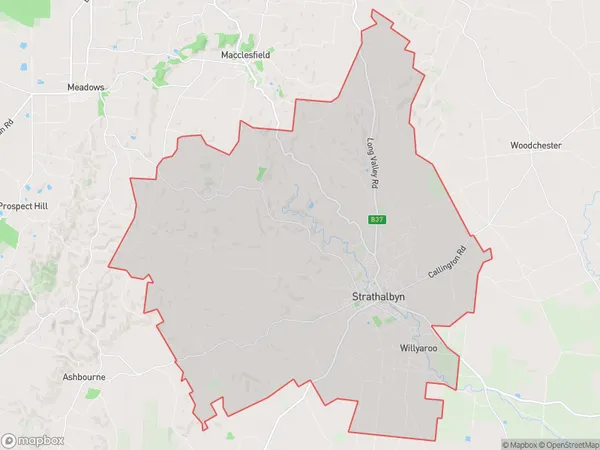
5201, and 5255 (In total, there are 2 postcodes in Strathalbyn.)Strathalbyn Suburb Area Map (Polygon)
Strathalbyn Introduction
Strathalbyn is a town in the Australian state of South Australia located in the Adelaide Hills Council area. It is approximately 25 km south of Adelaide and is part of the City of Charles Sturt. The town is named after the Strathalbyn River, which flows through it. It is a popular tourist destination, known for its historic buildings, gardens, and wineries. The population of Strathalbyn was 1,669 at the 2016 census.Australia State
City or Big Region
Greater Capital City
Rest of SA (4RSAU)District or Regional Area
Suburb Name
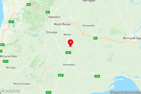
Strathalbyn Region Map
Strathalbyn Postcodes / Zip Codes
Strathalbyn Suburbs
Strathalbyn full address
Strathalbyn, Murray and Mallee, South Australia South East, South Australia, SA, Australia, SaCode: 407011146Country
Strathalbyn, Murray and Mallee, South Australia South East, South Australia, SA, Australia, SaCode: 407011146
Strathalbyn Suburbs & Region, Strathalbyn Map & Postcodes has 0 areas or regions above, and there are 4 Strathalbyn suburbs below. The sa2code for the Strathalbyn region is 407011146. Its latitude and longitude coordinates are -35.1731,138.905. Strathalbyn area belongs to Australia's greater capital city Rest of SA.
Strathalbyn Suburbs & Localities
1. Paris Creek
2. Strathalbyn
3. Gemmells
4. Willyaroo