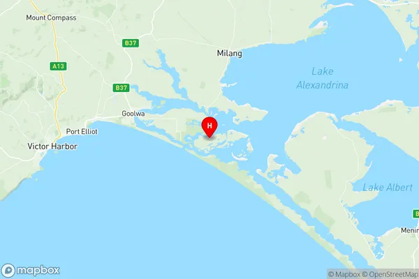
Goolwa Port Elliot Suburbs & Region, Goolwa Port Elliot Map & Postcodes
Goolwa Port Elliot Suburbs & Region, Goolwa Port Elliot Map & Postcodes in Goolwa Port Elliot, Fleurieu Kangaroo Island, South Australia South East, SA, AU
Goolwa Port Elliot Region
Region Name
Goolwa Port Elliot (SA, AU)Goolwa Port Elliot Area
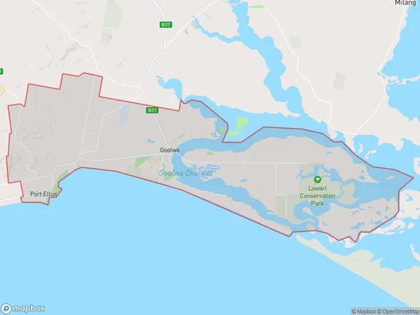
180.87 square kilometers (180.87 ㎢)Postal Codes
from 5212 to 5214 (In total, there are 3 postcodes in Goolwa Port Elliot.)Goolwa Port Elliot Introduction
Goolwa Port Elliot is a coastal town located in the Australian state of South Australia about 125 km southeast of Adelaide. It is situated on the southern side of the Gulf St Vincent and is known for its beautiful beaches, fishing, and tourism. The town has a population of around 2,000 people and is a popular destination for holidaymakers and retirees. The town also has a historic port which is used for commercial fishing and tourism. The nearby Mount Compass National Park offers a range of outdoor activities, including hiking, camping, and wildlife watching.Australia State
City or Big Region
Greater Capital City
Rest of SA (4RSAU)District or Regional Area
Suburb Name
Goolwa Port Elliot Region Map

Goolwa Port Elliot Postcodes / Zip Codes
Goolwa Port Elliot Suburbs
Goolwa Port Elliot full address
Goolwa Port Elliot, Fleurieu Kangaroo Island, South Australia South East, South Australia, SA, Australia, SaCode: 407011144Country
Goolwa Port Elliot, Fleurieu Kangaroo Island, South Australia South East, South Australia, SA, Australia, SaCode: 407011144
Goolwa Port Elliot Suburbs & Region, Goolwa Port Elliot Map & Postcodes has 0 areas or regions above, and there are 8 Goolwa Port Elliot suburbs below. The sa2code for the Goolwa Port Elliot region is 407011144. Its latitude and longitude coordinates are -35.5437,138.932. Goolwa Port Elliot area belongs to Australia's greater capital city Rest of SA.
Goolwa Port Elliot Suburbs & Localities
1. Port Elliot
2. Middleton
3. Goolwa North
4. Goolwa
5. Goolwa Beach
6. Goolwa South
7. Hindmarsh Island
8. Mundoo Island
