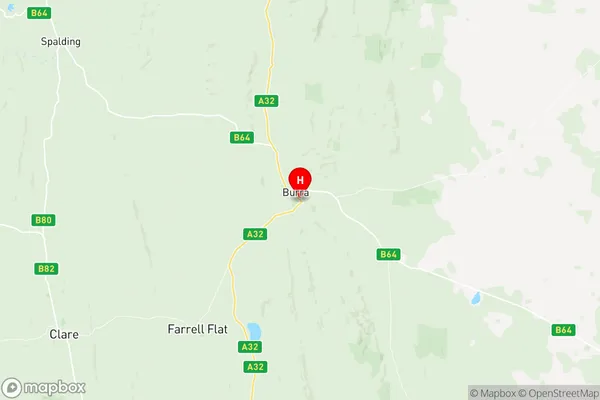
Goyder Suburbs & Region, Goyder Map & Postcodes
Goyder Suburbs & Region, Goyder Map & Postcodes in Goyder, Mid North, Barossa Yorke Mid North, SA, AU
Goyder Region
Region Name
Goyder (SA, AU)Goyder Area
6748 square kilometers (6,748 ㎢)Postal Codes
5320, 5374, 5381, 5413, and from 5416 to 5421 (In total, there are 10 postcodes in Goyder.)Goyder Introduction
Goyder is a locality in the Barossa Valley, South Australia. It is situated about 55 kilometers north of Adelaide and 30 kilometers south of Tanunda. The town was named after Sir George Goyder, who was the Governor of South Australia from 1858 to 1862. Goyder is known for its wine production, with many wineries located in the surrounding area. The town also has a historic railway station and a number of heritage-listed buildings. The Goyder River, which flows through the town, is a popular spot for fishing and swimming.Australia State
City or Big Region
Greater Capital City
Rest of SA (4RSAU)District or Regional Area
Suburb Name
Goyder Region Map

Goyder Postcodes / Zip Codes
Goyder Suburbs
Goyder full address
Goyder, Mid North, Barossa Yorke Mid North, South Australia, SA, Australia, SaCode: 405021118Country
Goyder, Mid North, Barossa Yorke Mid North, South Australia, SA, Australia, SaCode: 405021118
Goyder Suburbs & Region, Goyder Map & Postcodes has 0 areas or regions above, and there are 49 Goyder suburbs below. The sa2code for the Goyder region is 405021118. Its latitude and longitude coordinates are -33.68,138.936. Goyder area belongs to Australia's greater capital city Rest of SA.
Goyder Suburbs & Localities
1. Bower
2. Eudunda
3. Ngapala
4. Burra
5. Hanson
6. Mongolata
7. North Booborowie
8. Mount Bryan
9. Canowie
10. Terowie
11. Hansborough
12. Julia
13. Point Pass
14. Brady Creek
15. Hallelujah Hills
16. Robertstown
17. Collinsville
18. Hallett
19. Pine Creek
20. Willalo
21. Franklyn
22. Bundey
23. Australia Plains
24. Buchanan
25. Hampden
26. Sutherlands
27. Halleluja Hills
28. Rocky Plain
29. Apoinga
30. Porter Lagoon
31. Baldina
32. Booborowie
33. Gum Creek
34. Koonoona
35. Leighton
36. Mount Bryan East
37. Neales Flat
38. Peep Hill
39. Bright
40. Emu Downs
41. Geranium Plains
42. Worlds End
43. Worlds End Creek
44. Farrell Flat
45. Burra Eastern Districts
46. Ulooloo
47. Wonna
48. Canowie Belt
49. Whyte Yarcowie
