Willalo Area, Willalo Postcode(5419) & Map in Willalo, Barossa - Yorke - Mid North, SA
Willalo Area, Willalo Postcode(5419) & Map in Willalo, Barossa - Yorke - Mid North, SA, AU, Postcode: 5419
Willalo, Goyder, Lower North, Barossa - Yorke - Mid North, South Australia, Australia, 5419
Willalo Postcode
Area Name
WillaloWillalo Suburb Area Map (Polygon)

Willalo Introduction
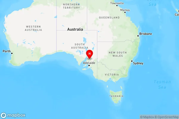
Willalo is a town in the Barossa - Yorke - Mid North region of South Australia, Australia. It is located 30 km north-east of Adelaide and 10 km south-east of Gawler. The town has a population of approximately 1,000 people and is known for its wine production, particularly Shiraz.State Name
City or Big Region
District or Regional Area
Suburb Name
Willalo Region Map
Country
Main Region in AU
R3Coordinates
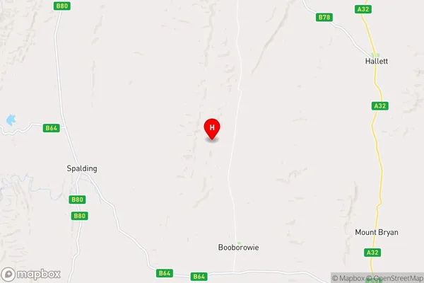
-33.4769344,138.7338891 (latitude/longitude)Willalo Area Map (Street)
Longitude
138.893337Latitude
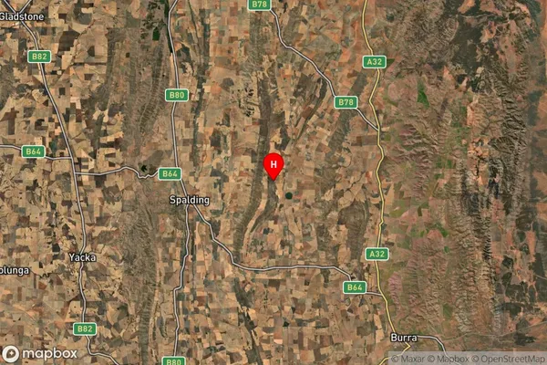
-33.397741Willalo Suburb Map (Satellite)
Distances
The distance from Willalo, Barossa - Yorke - Mid North, SA to AU Greater Capital CitiesSA1 Code 2011
40502111810SA1 Code 2016
40502111810SA2 Code
405021118SA3 Code
40502SA4 Code
405RA 2011
3RA 2016
3MMM 2015
5MMM 2019
5Charge Zone
S2LGA Region
GoyderLGA Code
42110Electorate
Grey