Farrell Flat Area, Farrell Flat Postcode(5416) & Map in Farrell Flat, Barossa - Yorke - Mid North, SA
Farrell Flat Area, Farrell Flat Postcode(5416) & Map in Farrell Flat, Barossa - Yorke - Mid North, SA, AU, Postcode: 5416
Farrell Flat, Goyder, Lower North, Barossa - Yorke - Mid North, South Australia, Australia, 5416
Farrell Flat Postcode
Area Name
Farrell FlatFarrell Flat Suburb Area Map (Polygon)

Farrell Flat Introduction
Farrell Flat is a small town in the Barossa - Yorke - Mid North region of South Australia, Australia. It is known for its wine production and has a population of around 1,000 people. The town is located on the banks of the Light River and is surrounded by rolling hills and vineyards. Farrell Flat is a popular destination for tourists and wine enthusiasts, with several wineries and restaurants in the area.State Name
City or Big Region
District or Regional Area
Suburb Name
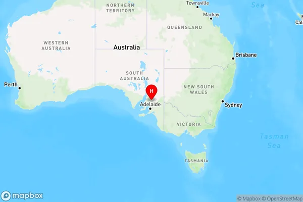
Farrell Flat Region Map
Country
Main Region in AU
R3Coordinates
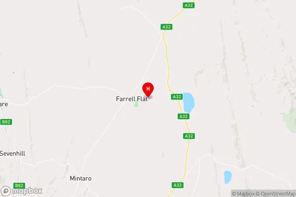
-33.827041,138.817737 (latitude/longitude)Farrell Flat Area Map (Street)
Longitude
138.796125Latitude
-33.804669Farrell Flat Elevation
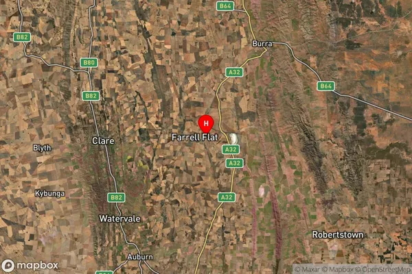
about 423.18 meters height above sea level (Altitude)Farrell Flat Suburb Map (Satellite)
Distances
The distance from Farrell Flat, Barossa - Yorke - Mid North, SA to AU Greater Capital CitiesSA1 Code 2011
40502111807SA1 Code 2016
40502111807SA2 Code
405021118SA3 Code
40502SA4 Code
405RA 2011
3RA 2016
3MMM 2015
5MMM 2019
5Charge Zone
S2LGA Region
Clare and Gilbert ValleysLGA Code
41140Electorate
Grey