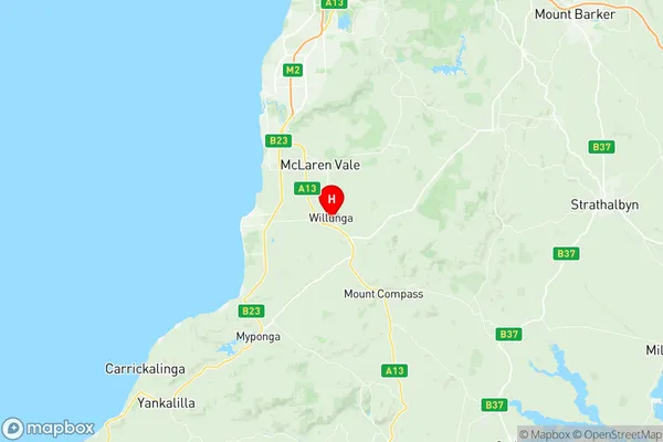
Willunga Suburbs & Region, Willunga Map & Postcodes
Willunga Suburbs & Region, Willunga Map & Postcodes in Willunga, Fleurieu Kangaroo Island, South Australia South East, SA, AU
Willunga Region
Region Name
Willunga (SA, AU)Willunga Area
85.19 square kilometers (85.19 ㎢)Postal Codes
5172 (In total, there are 1 postcodes in Willunga.)Willunga Introduction
Willunga is a suburb of Adelaide in South Australia and is located in the City of Charles Sturt. It is situated about 10 kilometers southeast of the Adelaide central business district and is part of the Mount Lofty Ranges. The suburb has a population of around 4,000 people and is known for its scenic views, wineries, and festivals. The Willunga Hill Conservation Park is a popular destination for hikers and nature lovers, with numerous walking trails and picnic areas. The suburb also has a number of schools, including Willunga Primary School and St Peter's College.Australia State
City or Big Region
Greater Capital City
Greater Adelaide (4GADE)District or Regional Area
Suburb Name
Willunga Region Map

Willunga Postcodes / Zip Codes
Willunga Suburbs
Willunga full address
Willunga, Fleurieu Kangaroo Island, South Australia South East, South Australia, SA, Australia, SaCode: 403041088Country
Willunga, Fleurieu Kangaroo Island, South Australia South East, South Australia, SA, Australia, SaCode: 403041088
Willunga Suburbs & Region, Willunga Map & Postcodes has 0 areas or regions above, and there are 3 Willunga suburbs below. The sa2code for the Willunga region is 403041088. Its latitude and longitude coordinates are -35.2743,138.556. Willunga area belongs to Australia's greater capital city Greater Adelaide.
Willunga Suburbs & Localities
1. Whites Valley
2. Willunga South
3. Willunga
