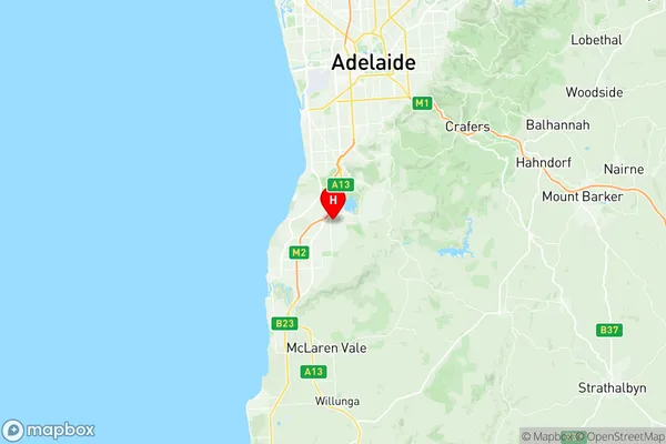
Reynella Suburbs & Region, Reynella Map & Postcodes
Reynella Suburbs & Region, Reynella Map & Postcodes in Reynella, Onkaparinga, Adelaide South, SA, AU
Reynella Region
Region Name
Reynella (SA, AU)Reynella Area
7.71 square kilometers (7.71 ㎢)Postal Codes
5161 (In total, there are 1 postcodes in Reynella.)Reynella Introduction
Reynella is a suburb of Adelaide in South Australia. It is located in the City of Charles Sturt and is about 10 kilometers south of the Adelaide city center. The suburb was named after Sir Richard Reynolds, who was a governor of South Australia from 1858 to 1862. Reynella is home to a variety of shops, schools, and recreational facilities, including the Reynella Golf Club and the Reynella Sports Complex. The suburb has a population of around 10,000 people and is known for its peaceful and quiet atmosphere.Australia State
City or Big Region
Greater Capital City
Greater Adelaide (4GADE)District or Regional Area
Suburb Name
Reynella Region Map

Reynella Postcodes / Zip Codes
Reynella Suburbs
Reynella full address
Reynella, Onkaparinga, Adelaide South, South Australia, SA, Australia, SaCode: 403041086Country
Reynella, Onkaparinga, Adelaide South, South Australia, SA, Australia, SaCode: 403041086
Reynella Suburbs & Region, Reynella Map & Postcodes has 0 areas or regions above, and there are 3 Reynella suburbs below. The sa2code for the Reynella region is 403041086. Its latitude and longitude coordinates are -35.09,138.55. Reynella area belongs to Australia's greater capital city Greater Adelaide.
Reynella Suburbs & Localities
1. Reynella
2. Old Reynella
3. Reynella East
