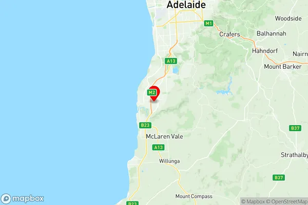
Hackham West Huntfield Heights Suburbs & Region, Hackham West Huntfield Heights Map & Postcodes
Hackham West Huntfield Heights Suburbs & Region, Hackham West Huntfield Heights Map & Postcodes in Hackham West Huntfield Heights, Onkaparinga, Adelaide South, SA, AU
Hackham West Huntfield Heights Region
Region Name
Hackham West Huntfield Heights (SA, AU)Hackham West Huntfield Heights Area
4.37 square kilometers (4.37 ㎢)Postal Codes
5163 (In total, there are 1 postcodes in Hackham West Huntfield Heights.)Hackham West Huntfield Heights Introduction
Hackham West Huntfield Heights is a suburb of Adelaide, South Australia. It is located in the City of Charles Sturt and is bordered by Main North Road, Port Road, and the Southern Expressway. The suburb has a mix of residential and commercial properties and is home to several schools, including Hackham West Primary School and St Peter's College. The Hackham West Shopping Centre is a major landmark in the suburb and provides a range of shopping and dining options. The suburb is also well-connected to public transport, with several bus routes and the Seaford railway station nearby.Australia State
City or Big Region
Greater Capital City
Greater Adelaide (4GADE)District or Regional Area
Suburb Name
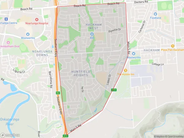
Hackham West Huntfield Heights Region Map

Hackham West Huntfield Heights Postcodes / Zip Codes
Hackham West Huntfield Heights Suburbs
Hackham West Huntfield Heights full address
Hackham West Huntfield Heights, Onkaparinga, Adelaide South, South Australia, SA, Australia, SaCode: 403041079Country
Hackham West Huntfield Heights, Onkaparinga, Adelaide South, South Australia, SA, Australia, SaCode: 403041079
Hackham West Huntfield Heights Suburbs & Region, Hackham West Huntfield Heights Map & Postcodes has 0 areas or regions above, and there are 2 Hackham West Huntfield Heights suburbs below. The sa2code for the Hackham West Huntfield Heights region is 403041079. Its latitude and longitude coordinates are -35.143,138.514. Hackham West Huntfield Heights area belongs to Australia's greater capital city Greater Adelaide.
Hackham West Huntfield Heights Suburbs & Localities
1. Hackham West
2. Huntfield Heights
