Coromandel Valley Suburbs & Region, Coromandel Valley Map & Postcodes
Coromandel Valley Suburbs & Region, Coromandel Valley Map & Postcodes in Coromandel Valley, Onkaparinga, Adelaide South, SA, AU
Coromandel Valley Region
Region Name
Coromandel Valley (SA, AU)Coromandel Valley Area
4.42 square kilometers (4.42 ㎢)Postal Codes
5051 (In total, there are 1 postcodes in Coromandel Valley.)Coromandel Valley Introduction
Coromandel Valley is a suburb of Adelaide in South Australia. It is located in the City of Charles Sturt and is 15 kilometers southeast of Adelaide's central business district. The suburb is named after the Coromandel Peninsula in New Zealand, and it is known for its scenic vineyards and wineries. Coromandel Valley has a population of around 10,000 people and is home to several popular attractions, including the Coromandel Valley Wine Festival, which is held annually in October. The suburb is also home to the Coromandel Valley Conservation Park, which covers over 1,000 hectares of land and is a popular destination for bush walkers and nature lovers.Australia State
City or Big Region
Greater Capital City
Greater Adelaide (4GADE)District or Regional Area
Suburb Name
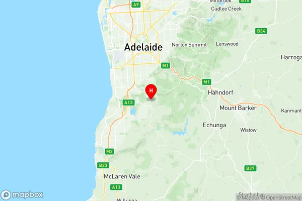
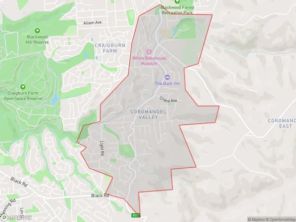
Coromandel Valley Region Map

Coromandel Valley Postcodes / Zip Codes
Coromandel Valley Suburbs
Coromandel Valley full address
Coromandel Valley, Onkaparinga, Adelaide South, South Australia, SA, Australia, SaCode: 403041076Country
Coromandel Valley, Onkaparinga, Adelaide South, South Australia, SA, Australia, SaCode: 403041076
Coromandel Valley Suburbs & Region, Coromandel Valley Map & Postcodes has 0 areas or regions above, and there are 1 Coromandel Valley suburbs below. The sa2code for the Coromandel Valley region is 403041076. Its latitude and longitude coordinates are -35.0476,138.621. Coromandel Valley area belongs to Australia's greater capital city Greater Adelaide.
Coromandel Valley Suburbs & Localities
1. Coromandel Valley
