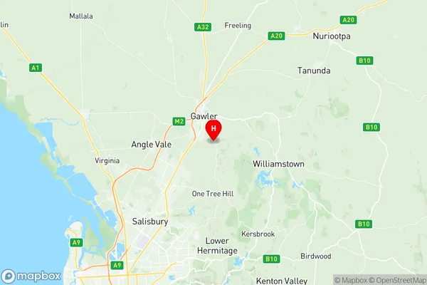
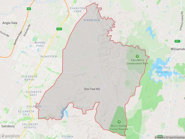
One Tree Hill Suburbs & Region, One Tree Hill Map & Postcodes
One Tree Hill Suburbs & Region, One Tree Hill Map & Postcodes in One Tree Hill, Playford, Adelaide North, SA, AU
One Tree Hill Region
Region Name
One Tree Hill (SA, AU)One Tree Hill Area
130.15 square kilometers (130.15 ㎢)Postal Codes
5114, and 5118 (In total, there are 2 postcodes in One Tree Hill.)Australia State
City or Big Region
Greater Capital City
Greater Adelaide (4GADE)District or Regional Area
Suburb Name
One Tree Hill Region Map

One Tree Hill Postcodes / Zip Codes
One Tree Hill Suburbs
One Tree Hill full address
One Tree Hill, Playford, Adelaide North, South Australia, SA, Australia, SaCode: 402021033Country
One Tree Hill, Playford, Adelaide North, South Australia, SA, Australia, SaCode: 402021033
One Tree Hill Suburbs & Region, One Tree Hill Map & Postcodes has 0 areas or regions above, and there are 6 One Tree Hill suburbs below. The sa2code for the One Tree Hill region is 402021033. Its latitude and longitude coordinates are -34.6383,138.766. One Tree Hill area belongs to Australia's greater capital city Greater Adelaide.
One Tree Hill Suburbs & Localities
1. One Tree Hill
2. Sampson Flat
3. Uleybury
4. Humbug Scrub
5. Bibaringa
6. Yattalunga
