Elizabeth East Suburbs & Region, Elizabeth East Map & Postcodes
Elizabeth East Suburbs & Region, Elizabeth East Map & Postcodes in Elizabeth East, Playford, Adelaide North, SA, AU
Elizabeth East Region
Region Name
Elizabeth East (SA, AU)Elizabeth East Area
8.18 square kilometers (8.18 ㎢)Postal Codes
5112, and 5113 (In total, there are 2 postcodes in Elizabeth East.)Elizabeth East Introduction
Elizabeth East is a suburb of Adelaide, South Australia, located in the City of Norwood Payneham & St Peters. It is named after Queen Elizabeth II, who visited Australia in 1954. The suburb is known for its well-maintained homes, leafy streets, and proximity to public transport. It is also home to several parks, including the Elizabeth East Reserve and the Norwood Payneham & St Peters Football Club. The suburb has a diverse population, with a mix of young families, professionals, and retirees. It is also home to several cultural institutions, including the Chinese Museum of South Australia and the Korean Australian Cultural Society.Australia State
City or Big Region
Greater Capital City
Greater Adelaide (4GADE)District or Regional Area
Suburb Name
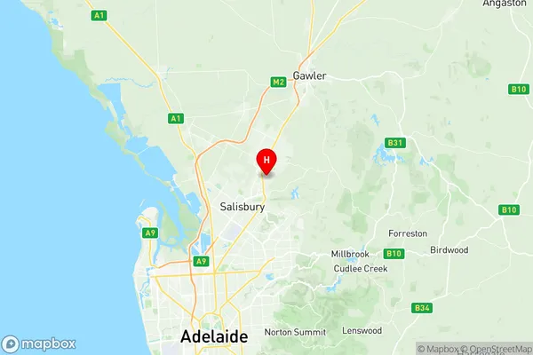
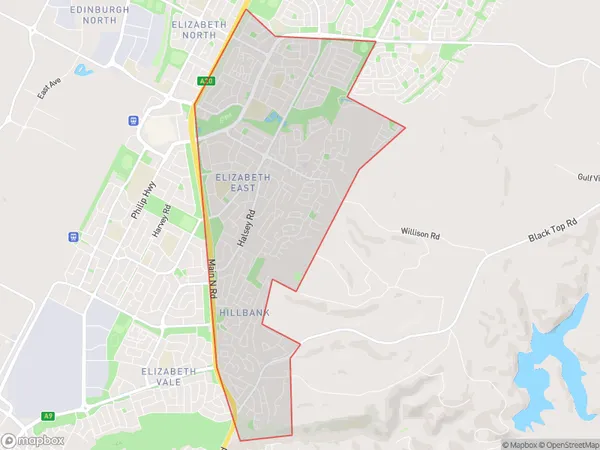
Elizabeth East Region Map

Elizabeth East Postcodes / Zip Codes
Elizabeth East Suburbs
Elizabeth East full address
Elizabeth East, Playford, Adelaide North, South Australia, SA, Australia, SaCode: 402021031Country
Elizabeth East, Playford, Adelaide North, South Australia, SA, Australia, SaCode: 402021031
Elizabeth East Suburbs & Region, Elizabeth East Map & Postcodes has 0 areas or regions above, and there are 3 Elizabeth East suburbs below. The sa2code for the Elizabeth East region is 402021031. Its latitude and longitude coordinates are -34.7262,138.681. Elizabeth East area belongs to Australia's greater capital city Greater Adelaide.
Elizabeth East Suburbs & Localities
1. Elizabeth East
2. Hillbank
3. Elizabeth Park
