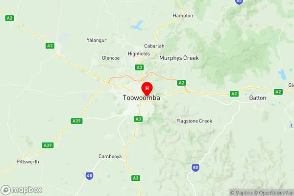
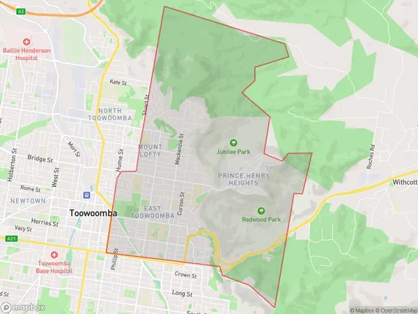
Toowoomba East Suburbs & Region, Toowoomba East Map & Postcodes
Toowoomba East Suburbs & Region, Toowoomba East Map & Postcodes in Toowoomba East, Toowoomba, QLD, AU
Toowoomba East Region
Region Name
Toowoomba East (QLD, AU)Toowoomba East Area
19.42 square kilometers (19.42 ㎢)Toowoomba East Introduction
Toowoomba East is a locality in the City of Toowoomba, Queensland, Australia. It is located 8 km east of the Toowoomba central business district. The suburb has a population of around 1,200 people. The locality is named after the Toowoomba East railway station, which was opened on 1 October 1889. The station was closed on 1 February 1976. Toowoomba East is a residential suburb with a mix of single-family homes and units. There are several parks and recreational facilities in the area, including Toowoomba East Park and Toowoomba East Reserve. The suburb is also home to a number of schools, including Toowoomba East State School and St Joseph's College. The Toowoomba East railway station is located on the Western line, which services Toowoomba, Brisbane, and the Gold Coast. The suburb is also well-connected to the city's road network, with the Toowoomba-Wellington Road and the Mount Superbus highway providing easy access to other parts of the city. In summary, Toowoomba East is a residential suburb with a mix of housing types and a convenient location for those who work in the city or commute to other parts of the region.Australia State
City or Big Region
Greater Capital City
Rest of Qld (3RQLD)District or Regional Area
Suburb Name
Toowoomba East Region Map

Toowoomba East Suburbs
Toowoomba East full address
Toowoomba East, Toowoomba, Queensland, QLD, Australia, SaCode: 317011457Country
Toowoomba East, Toowoomba, Queensland, QLD, Australia, SaCode: 317011457
Toowoomba East Suburbs & Region, Toowoomba East Map & Postcodes has 0 areas or regions above, and there are 0 Toowoomba East suburbs below. The sa2code for the Toowoomba East region is 317011457. Its latitude and longitude coordinates are -27.562,151.969. Toowoomba East area belongs to Australia's greater capital city Rest of Qld.
