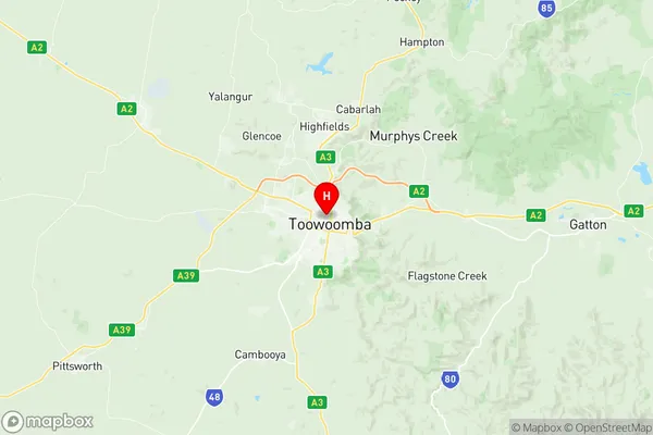
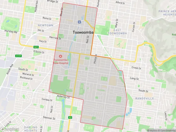
Toowoomba Central Suburbs & Region, Toowoomba Central Map & Postcodes
Toowoomba Central Suburbs & Region, Toowoomba Central Map & Postcodes in Toowoomba Central, Toowoomba, QLD, AU
Toowoomba Central Region
Region Name
Toowoomba Central (QLD, AU)Toowoomba Central Area
9.52 square kilometers (9.52 ㎢)Postal Codes
4350, and 4352 (In total, there are 2 postcodes in Toowoomba Central.)Toowoomba Central Introduction
Toowoomba Central is a major shopping center in Toowoomba, Queensland, Australia. It is located on the corner of Margaret and James Streets and is anchored by major retailers such as Coles, Woolworths, Kmart, Target, and Aldi. The center also includes a variety of specialty stores, cafes, and restaurants. It was developed in the 1970s and has undergone several renovations and expansions over the years.Australia State
City or Big Region
Greater Capital City
Rest of Qld (3RQLD)District or Regional Area
Suburb Name
Toowoomba Central Region Map

Toowoomba Central Postcodes / Zip Codes
Toowoomba Central Suburbs
Toowoomba Central full address
Toowoomba Central, Toowoomba, Queensland, QLD, Australia, SaCode: 317011456Country
Toowoomba Central, Toowoomba, Queensland, QLD, Australia, SaCode: 317011456
Toowoomba Central Suburbs & Region, Toowoomba Central Map & Postcodes has 0 areas or regions above, and there are 13 Toowoomba Central suburbs below. The sa2code for the Toowoomba Central region is 317011456. Its latitude and longitude coordinates are -27.5537,151.949. Toowoomba Central area belongs to Australia's greater capital city Rest of Qld.
Toowoomba Central Suburbs & Localities
1. Toowoomba Village Fair
2. South Toowoomba
3. Southtown
4. Toowoomba West
5. Eastlake
6. Gowrie
7. Toowoomba Bc
8. Toowoomba City
9. Toowoomba Dc
10. Centenary Heights
11. Toowoomba
12. Toowoomba South
13. Toowoomba Mc
