Rangeville Suburbs & Region, Rangeville Map & Postcodes
Rangeville Suburbs & Region, Rangeville Map & Postcodes in Rangeville, Toowoomba, QLD, AU
Rangeville Region
Region Name
Rangeville (QLD, AU)Rangeville Area
8.25 square kilometers (8.25 ㎢)Postal Codes
4350 (In total, there are 1 postcodes in Rangeville.)Rangeville Introduction
Rangeville is a locality in the City of Toowoomba, Queensland, Australia. It is located 10 km west of the Toowoomba central business district. At the 2011 Australian census, Rangeville recorded a population of 4,522 people. Rangeville State School opened on 14 January 1927. It is one of two state schools in the locality, the other being Rangeville State High School. The locality has a number of parks and recreational facilities, including Rangeville Reserve, Harlaxton Reserve, and Jondaryan Park. The Toowoomba Regional Council operates a library branch in Rangeville. The Rangeville Hotel is a historic hotel in the locality. It was built in 1889 and is listed on the Queensland Heritage Register.Australia State
City or Big Region
Greater Capital City
Rest of Qld (3RQLD)District or Regional Area
Suburb Name
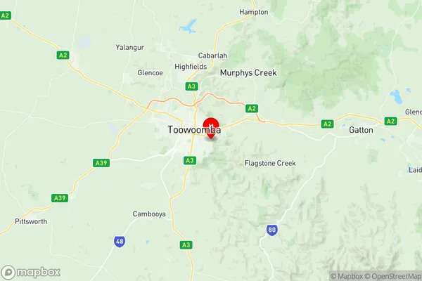
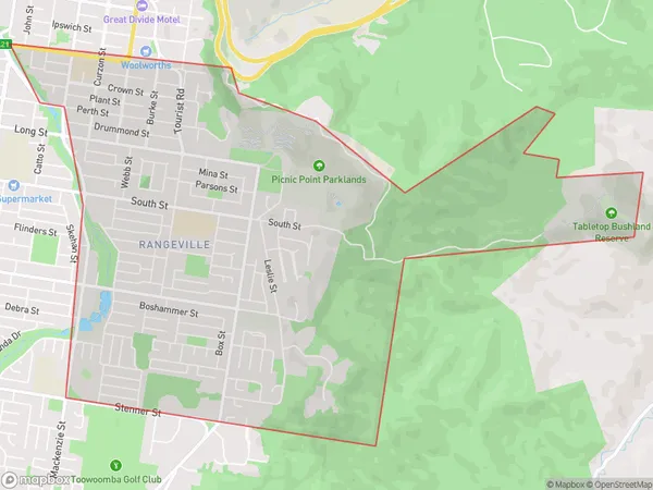
Rangeville Region Map

Rangeville Postcodes / Zip Codes
Rangeville Suburbs
Rangeville full address
Rangeville, Toowoomba, Queensland, QLD, Australia, SaCode: 317011455Country
Rangeville, Toowoomba, Queensland, QLD, Australia, SaCode: 317011455
Rangeville Suburbs & Region, Rangeville Map & Postcodes has 0 areas or regions above, and there are 2 Rangeville suburbs below. The sa2code for the Rangeville region is 317011455. Its latitude and longitude coordinates are -27.5799,151.986. Rangeville area belongs to Australia's greater capital city Rest of Qld.
Rangeville Suburbs & Localities
1. Picnic Point
2. Rangeville
