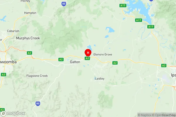
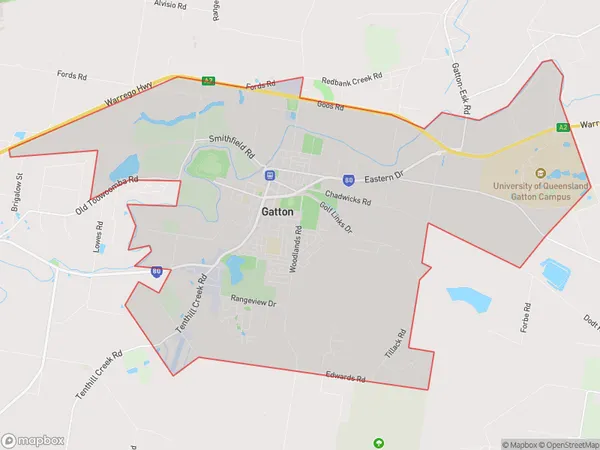
Gatton Suburbs & Region, Gatton Map & Postcodes
Gatton Suburbs & Region, Gatton Map & Postcodes in Gatton, Toowoomba, QLD, AU
Gatton Region
Region Name
Gatton (QLD, AU)Gatton Area
49.98 square kilometers (49.98 ㎢)Postal Codes
4343, and 4345 (In total, there are 2 postcodes in Gatton.)Gatton Introduction
Gatton is a city in the Darling Downs region of Queensland, Australia. It is the administrative center of the Gatton Shire and is located 125 kilometers west of Brisbane. The city is named after Sir Samuel Macfarlane Gatton, who was a politician and judge in the 19th century. Gatton is known for its agriculture, particularly cotton and sugarcane farming. The city has a population of around 10,000 people and is home to several schools, churches, and recreational facilities. The Gatton Show is a major event in the region and attracts visitors from all over Queensland.Australia State
City or Big Region
Greater Capital City
Rest of Qld (3RQLD)District or Regional Area
Suburb Name
Gatton Region Map

Gatton Postcodes / Zip Codes
Gatton Suburbs
Gatton full address
Gatton, Toowoomba, Queensland, QLD, Australia, SaCode: 317011448Country
Gatton, Toowoomba, Queensland, QLD, Australia, SaCode: 317011448
Gatton Suburbs & Region, Gatton Map & Postcodes has 0 areas or regions above, and there are 2 Gatton suburbs below. The sa2code for the Gatton region is 317011448. Its latitude and longitude coordinates are -27.5473,152.34. Gatton area belongs to Australia's greater capital city Rest of Qld.
Gatton Suburbs & Localities
1. Gatton
2. Gatton College
