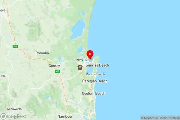
Noosaville Suburbs & Region, Noosaville Map & Postcodes
Noosaville Suburbs & Region, Noosaville Map & Postcodes in Noosaville, Noosa, Sunshine Coast, QLD, AU
Noosaville Region
Region Name
Noosaville (QLD, AU)Noosaville Area
26.44 square kilometers (26.44 ㎢)Noosaville Introduction
Noosaville is a coastal town on the Sunshine Coast, Queensland, Australia. It is located in the Noosa Shire and is known for its beautiful beaches, lush forests, and vibrant community. The town has a population of around 10,000 people and is a popular destination for tourists and retirees. It is surrounded by stunning natural scenery, including the Noosa National Park and the Great Sandy National Park. Noosaville has a variety of shopping and dining options, as well as a range of recreational facilities, including a golf course, tennis courts, and a swimming pool. The town is also home to a number of festivals and events, including the Noosa Food and Wine Festival and the Noosa Jazz Festival.Australia State
City or Big Region
Greater Capital City
Rest of Qld (3RQLD)District or Regional Area
Suburb Name
Noosaville Region Map

Noosaville Suburbs
Noosaville full address
Noosaville, Noosa, Sunshine Coast, Queensland, QLD, Australia, SaCode: 316051435Country
Noosaville, Noosa, Sunshine Coast, Queensland, QLD, Australia, SaCode: 316051435
Noosaville Suburbs & Region, Noosaville Map & Postcodes has 0 areas or regions above, and there are 0 Noosaville suburbs below. The sa2code for the Noosaville region is 316051435. Its latitude and longitude coordinates are -26.3948,153.074. Noosaville area belongs to Australia's greater capital city Rest of Qld.
