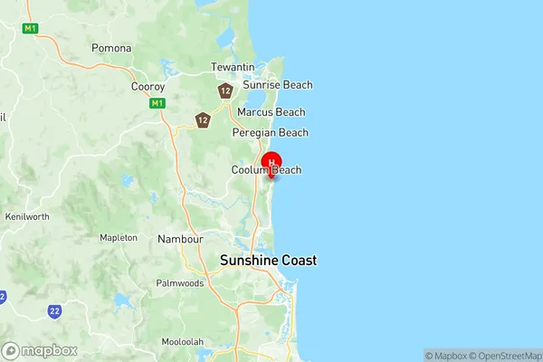
Coolum Beach Suburbs & Region, Coolum Beach Map & Postcodes
Coolum Beach Suburbs & Region, Coolum Beach Map & Postcodes in Coolum Beach, Noosa, Sunshine Coast, QLD, AU
Coolum Beach Region
Region Name
Coolum Beach (QLD, AU)Coolum Beach Area
18.11 square kilometers (18.11 ㎢)Postal Codes
4573 (In total, there are 1 postcodes in Coolum Beach.)Coolum Beach Introduction
Coolum Beach is a coastal town on the Sunshine Coast, Queensland, Australia. It is located about 100 kilometers north of Brisbane and is known for its beautiful beaches, clear waters, and relaxed atmosphere. The town has a population of around 10,000 people and is a popular destination for tourists and locals alike. Coolum Beach offers a range of activities, including swimming, surfing, snorkeling, kayaking, and walking. There are also several cafes, restaurants, and shops in the town, as well as a golf course and a hospital. The beach is patrolled by lifeguards during the summer months, and there are also several parks and reserves nearby for those who enjoy nature.Australia State
City or Big Region
Greater Capital City
Rest of Qld (3RQLD)District or Regional Area
Suburb Name
Coolum Beach Region Map

Coolum Beach Postcodes / Zip Codes
Coolum Beach Suburbs
Coolum Beach full address
Coolum Beach, Noosa, Sunshine Coast, Queensland, QLD, Australia, SaCode: 316031425Country
Coolum Beach, Noosa, Sunshine Coast, Queensland, QLD, Australia, SaCode: 316031425
Coolum Beach Suburbs & Region, Coolum Beach Map & Postcodes has 0 areas or regions above, and there are 4 Coolum Beach suburbs below. The sa2code for the Coolum Beach region is 316031425. Its latitude and longitude coordinates are -26.5469,153.098. Coolum Beach area belongs to Australia's greater capital city Rest of Qld.
Coolum Beach Suburbs & Localities
1. Yaroomba
2. Coolum Beach
3. Mount Coolum
4. Point Arkwright
